Last updated: October 10, 2024
Place
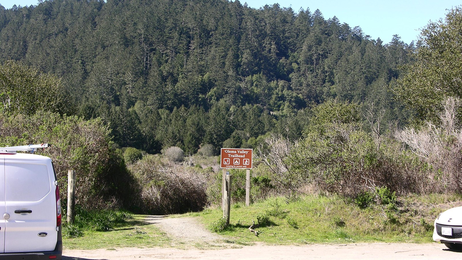
Olema Valley (Hagmaier) Trailhead
NPS Photo
Quick Facts
Location:
Point Reyes National Seashore's Olema Valley (Hagmaier) Trailhead is located along Highway 1 (aka Shoreline Highway) 6 miles (9.6 km) south of Olema, California. Geographic Coordinates: 37.9728, -122.7305
Amenities
2 listed
Parking - Auto, Trailhead
The Olema Valley (Hagmaier) Trailhead is located on the west side of Highway 1 (aka Shoreline Highway) 6 miles (9.6 km) south of Olema and across from the Randall Trailhead. A short 0.5-mile-long (0.8-km-long) trail allows one to connect to the Olema Valley Trail about halfway between its northern end at Five Brooks Trailhead and its southern end at the Olema Valley (South) Trailhead. The Olema Valley Trail intersects with the Teixeira and Bolema Trails, both of which lead up to the Ridge Trail along the crest of Inverness Ridge and into the Phillip Burton Wilderness. Pets are prohibited on Olema Valley Trail and on the other trails west of Highway 1.
Suggested Routes From This Trailhead
- Hike or bike the Randall–Bolinas Ridge–McCurdy–Olema Valley loop: 8.6 miles (13.8 km) roundtrip, strenuous
- Hike the Olema Valley–Teixeira–Ridge–Bolema loop: 10.1 (16.2 km) roundtrip, strenuous
Park Regulations
- Take only pictures; leave only footprints: Almost everything one finds at Point Reyes is protected by law, including shells, rocks, fossils, flowers, and artifacts.
- Please only travel on authorized trails, respect posted signs, and practice Leave No Trace principles when recreating in the park.
- Check current conditions and trail advisories and closures before your visit.
- Bicycles are permitted on the Olema Valley Trail, as well as on Golden Gate National Recreation Area's Randall, Bolinas Ridge, and McCurdy trails. Bicycles are prohibited on the Teixeira, Ridge, and Bolema trails, which pass through the Phillip Burton Wilderness.
- Pets are prohibited on the trails in this area within Point Reyes National Seashore (e.g., the trails west of Highway 1). Pets are permitted on the Randall, Bolinas Ridge, and McCurdy trails within Golden Gate National Recreation Area. They must remain on a leash (shorter than 6 feet) at all times. Visit our Pets page to learn where pets are permitted at Point Reyes National Seashore.
- Horses and pack animals are permitted on most park trails, including those that depart from these trailheads. Please visit our Horse Riding page for more information.
- Drones are not permitted anywhere in Point Reyes National Seashore or in Golden Gate National Recreation Area.
Parking
Space for parking at the Olema Valley (Hagmaier) Trailhead and the Randall Trailhead consists of unpaved shoulders along both sides of Highway 1 (aka Shoreline Highway) 6 miles (9.6 km) south of Olema. These trailheads are approximately 15 minutes by car from the Bear Valley Visitor Center. Please make sure your parked vehicle is completely off the highway and entirely out of the lane of travel.
Directions to Bear Valley
Directions from Bear Valley to the Olema Valley (Hagmaier) Trailhead and Randall Trailhead