



Last updated: July 14, 2026
Place
Pilot Butte Overlook
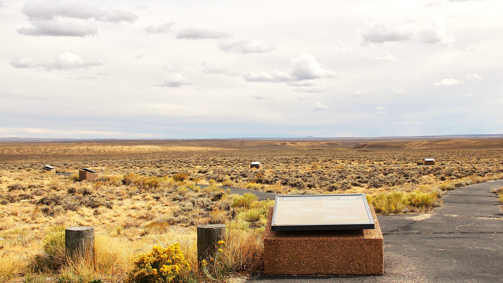
Photo/L. Kreutzer
Quick Facts
Location:
From Farson, enter westbound WY-28 and drive 12.3 miles to the site entrance on the left. GPS 41.999157 -109.622906
Significance:
This is a Bureau of Land Management interpretive site, right on the trail corridor, that helps visitors understand various aspects of the emigrant experience in the West. Topics include death and burial, the transcontinental telegraph, the continuing journey west, and the trail landmark of Pilot Butte, visible in the distance.
Designation:
Historic site on the California, Mormon Pioneer, Oregon, and Pony Express NHTs.
MANAGED BY:
Amenities
5 listed
Historical/Interpretive Information/Exhibits, Parking - Auto, Parking - Bus/RV, Scenic View/Photo Spot, Wheelchair Accessible
Pilot Butte Overlook provides a distant view of the Pilot Butte landmark, a classic, flat-topped mesa silhouetted in dusty purple on the far horizon to the south. This Bureau of Land Management interpretive site is adjacent to historic wagon ruts. A large, heart-shaped walking loop leads visitors to a series of 8 wayside exhibits. The loop is paved and wheelchair accessible. One exhibit explains the purpose of the interpretive site, another is about the historical importance of the landmark, and a third tells of the transcontinental telegraph, which made the Pony Express obsolete upon its completion in 1861.
A wayside exhibit addresses the evolving relationships between Native Americans and the emigrants who crossed their lands, while 4 others focus on themes of emigrant deaths and graves along the trail. Two replica “graves”—no one is buried there—help visitors imagine the grief and pain of leaving loved ones in lonely trailside graves that likely will blend into the landscape within a few years. A final exhibit reminds visitors that travelers bound for California and Oregon were still less than halfway through their journey. The wagon ruts, with concrete post trail markers, run past the “top” of the heart-shaped loop and continue 2 miles over public lands to Lower Farson Cutoff Rd. Intermittent trail trace continues to the Green River.
Site Information
Location (From Farson, enter westbound WY-28 and drive 12.3 miles to the site entrance on the left. GPS 41.999157 -109.622906)