



Last updated: July 11, 2026
Place
False Parting of the Ways
Photo/L. Kreutzer
Quick Facts
Location:
From Farson, WY, drive 23 miles on eastbound WY-28. The turnout is on the north side of the highway at mile marker 24. If following the trail westbound on WY-28, the turnout is 10.5 miles from the South Pass Rest Area on the Sweetwater River. GPS 42.284464 -109.05896
Significance:
A 1956 state marker erroneously identifies this site as the Parting of the Ways, where emigrants took the left fork toward Salt Lake City and California or the right fork to enter a more direct cutoff to Oregon. The actual Parting is about 10 miles to the southwest, but here at this site, known as “False Parting of the Ways,” the emigrant trail crosses the highway and wagon ruts score the earth.
Designation:
Historic site on the California, Mormon Pioneer, Oregon, and Pony Express NHTs.
MANAGED BY:
Amenities
5 listed
Historical/Interpretive Information/Exhibits, Parking - Auto, Parking - Bus/RV, Scenic View/Photo Spot, Wheelchair Accessible
False Parting of the Ways is “false” because it was mistakenly identified in 1956 as the location of the historical split, or “parting,” of the trails to Oregon and to California by way of Salt Lake City. The trail fork here later was found to be the intersection of a stage road with the emigrant trail. The true Parting of the Ways is about 10 miles away over rough, unpaved roads. “False Parting,” however, is an easily accessible turnout off WY-28 where the trail corridor crosses the highway.
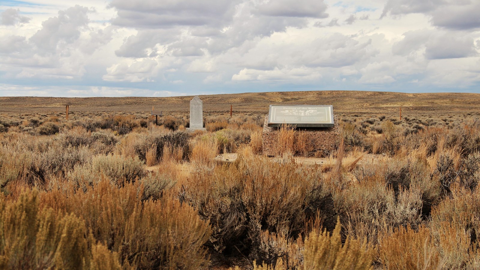
Here visitors can explore original wagon and stagecoach swale on Bureau of Land Management land north of the highway. The swale, which runs northeast/southwest parallel to Wy-28 and the fence line, is clearly visible on online satellite imagery, as well as on the ground. Visitors will find an Oregon Trail monument near the center of the turnout and a wheelchair-accessible path near the south end. The path enters a fenced area that protects a section of wagon swale. It leads about 18 yards to a BLM interpretive wayside exhibit that tells about the Parting of the Ways. The path continues another 30 yards to a monument erected in 1956 by the Historical Landmark Commission of Wyoming to mark the location then thought to be the historical fork of the trail. Beside the monument stands a 1988 marker, installed by the Oregon-California Trails Association, that provides more information about the 2 branches of the trail. The distinctive swale, a shallow linear depression, crosses right to left at the monument location.
Site Information
Location (From Farson, WY, drive 23 miles on eastbound WY-28. The turnout is on the north side of the highway at mile marker 24. If following the trail westbound on WY-28, the turnout is 10.5 miles from the South Pass Rest Area on the Sweetwater River. GPS 42.284464 -109.05896)