



Last updated: July 10, 2026
Place
Dry Sandy Crossing
NPS Photo
Quick Facts
Location:
The sites are about 20 mi northeast of Farson, WY, and 10 mi southwest of Pacific Springs, on an unpaved, unsigned road. Contact the Rock Springs office of the Bureau of Land Management at 307-352-0255 for directions to Little Sandy Crossing and Dry Sandy Swale. GPS of historical crossing 42.290277778 -109.1226666667; GPS Dry Sandy Swale 42.288738 -109.139099
Significance:
Holes dug by emigrants to find water at Dry Sandy Creek, the first water west of Pacific Springs, are still present. A Pony Express and stage station operated here in the 1860s.
Designation:
Historic site on the California, Mormon Pioneer, Oregon, and Pony Express NHTs.
MANAGED BY:
Amenities
1 listed
Scenic View/Photo Spot
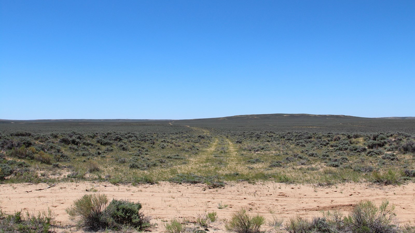
After a 10-mile dry drive, emigrants reached the first water west of Pacific Springs at the crossing of Dry Sandy Creek. The creek flows in the spring and typically dries up by mid-June, but emigrants arriving in full summer could find water by digging a foot or so beneath the sand. Some “tanks” they dug are still visible near the crossing. The alkali water that pooled there, though, could kill livestock that were allowed to drink too freely. The Donner-Reed Party lost 6 oxen to the tainted water while crossing in mid-July 1846, although Brigham Young’s vanguard company of Latter-day Saints did not report any loss of livestock when camping there the following year. “Dry Sandy is the bed of a wet weather stream, which during the dry months contains a little water which is strongly impregnated with alkali and kills much stock—the emigrant should avoid it,” cautioned Andrew McClure’s journal entry dated July 8, 1853.
The Martin Handcart Company of Latter-day Saints, all riding in rescue wagons at this point, camped at the creek on snowy Nov. 19, 1856. Three members of the company, after a month of traveling on starvation rations and in extreme weather, died there that night. Helen Carpenter, passing through on July 25, 1857, remarked in her journal, “[Dry Sandy] has no water in it as the name would seem to imply, yet there is a good bed for quite a body of water which at times must flow through it. There is little growing here except sagebrush. . . . We are beginning to pass dead cattle quite frequently and occasionally some that have been left to die. Sore feet and alkali are the prevailing trouble.”
Some travelers reported swarms of biting gnats that attacked them and their beasts, causing them to hurry from the area. The place was so unpleasant that many emigrants preferred to drive another 10 dry miles to the next good campground at Little Sandy Creek. Wagon and stagecoach wheels gouged an impressive wagon swale, almost 6 feet deep and 100 feet wide, into the earth beginning about ½ mile west of Dry Sandy Crossing. (Explore the Dry Sandy Swale on foot; motor traffic can damage the historic wagon swale.) A stage and Pony Express relay station began operating at Dry Sandy in the 1860s. The Pony operation shut down in November 1861, but coaches continued to run through 1885.
Site Information
Location (The sites are about 20 mi northeast of Farson, WY, and 10 mi southwest of Pacific Springs, on an unpaved, unsigned road. Contact the Rock Springs office of the Bureau of Land Management at 307-352-0255 for directions to Little Sandy Crossing and Dry Sandy Swale. GPS of historical crossing 42.290277778 -109.1226666667; GPS Dry Sandy Swale 42.288738 -109.139099)