
"Parashant is a rugged and wild land. The vast, wild landscape of desert cactus, sheer canyon walls, soaring raptors, tall ponderosa pines, isolated cattle corrals and line shacks, lone cowboys, and rugged rock formations set against endless blue skies inspire those who seek it out. Few signs of civilization interrupt the splendid natural landscape."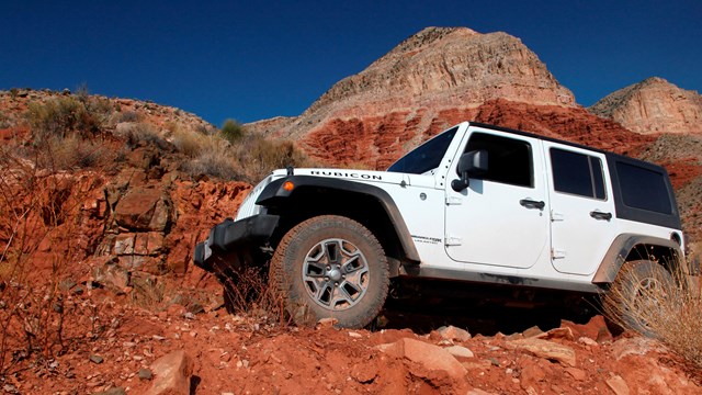
Travel Safety & Vehicle Recommendations
Are you wondering if your vehicle, tires, and equipment are appropriate to visit the monument? Read more here. 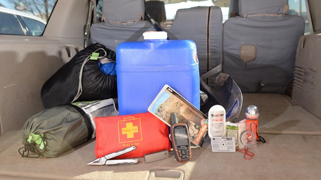
Safety on the Monument
Find safety information for traveling through the monument. |
Last updated: April 8, 2024