

Hill Top Prescribed Fire
Size: 313acres
Date(s): October 30, 2008
Primary Goals
1. Achieve 70-90% consumption of dead and down material
2.
Limit overstory (>8" dbh) mortality of ponderosa pine to 20%.
Prescribed Fire Monitoring Report
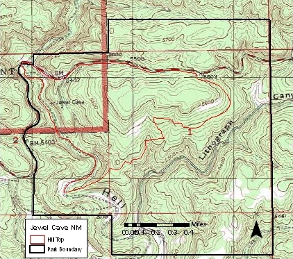
Location of Hill Top prescribed fire.
Surface fire reaching fire monitoring plot
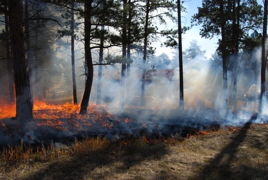
Blacklining around residential area
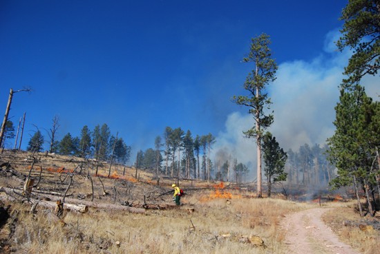
Hand igniting within unit
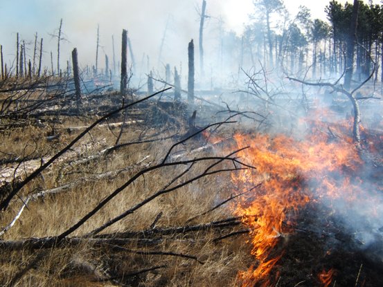
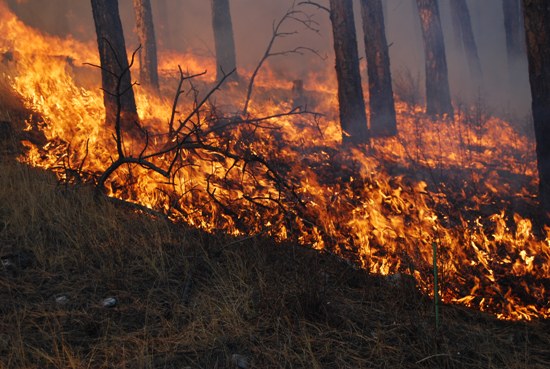
Fire moving through heavy downed fuels