|
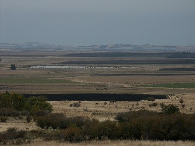
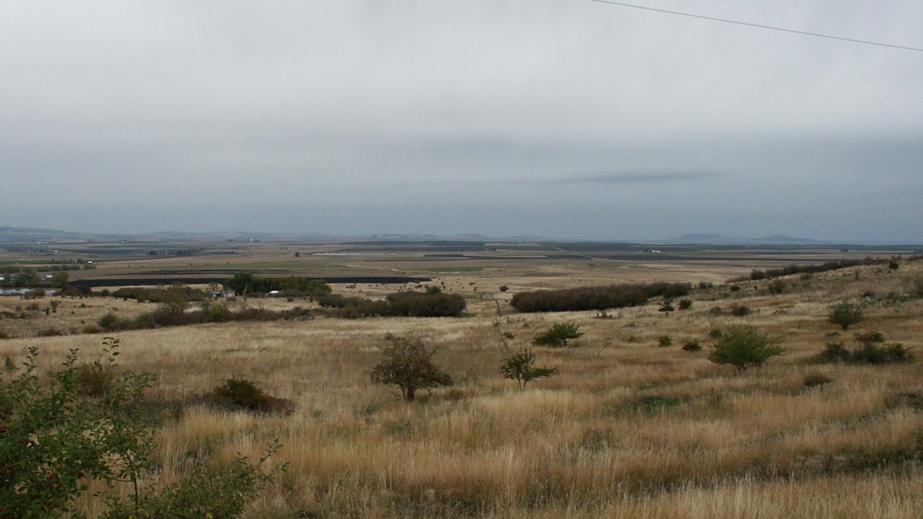
The rolling hills and plains of the Camas Prairie mark the heart of the Nez Perce Indian Reservation. Rich in resources, the prairie grasslands provided forage for horse herds and camas bulbs could be harvested in abundance. With the passage of the Allotment Act by Congress in the 1880s, the amount of land on the Camas Prairie held by nimí·pu· (Nez Perce) families would shrink. Much of the land was converted to agriculture. 
NPS Photo Getting to Camas PrairieA historical marker with information about the Camas Prairie is located on Highway 95, approximately 6 miles south of Grangeville, Idaho. Location
Driving to Camas PrairieFrom Grangeville, Idaho, head south on N College St toward W Main St. Then take a quick right turn at the 1st cross street onto W Main St. After 0.4 miles, turn left onto U.S. Highway 95 South. Continue onto U.S. Highway 95 South for 6.2 miles. The highway pullout will be on the right. Things to Do at Camas PrairieExplore the SiteCamas Prairie is a large area, mostly privately owned, that extends many miles between the Salmon and Clearwater drainages. On the highway pullout off of U.S. Highway 95, there is a historical marker that explains the Camas Prairie. Another park site, Tolo Lake, can also be seen in the distance from this pullout. Nearby AmenitiesCamas Prairie is located approximately 64 miles west of the Nez Perce National Historical Park's visitor center where further information is available. 
Learn more about Camas Prairie
Nez Perce gathered here in late summer and early fall to dig camas bulbs, a major food source for the Nez Perce. |
Last updated: February 10, 2018
