Worthington Ford Trail

 
A mowed path follows a fenceline on the edge of a farm field and woods.
Worthington Ford Trail

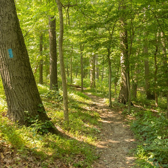
NPS / Kelsey Graczyk

This trail slopes downhill to the river's edge and the site of the Worthington Ford, then loops back to the Worthington House. When there is high water in the river, hikers may need to divert to the High Water Trail to complete the circuit.

Watch your step for tree roots and groundhog holes.

Trail info

  • Trailhead: Worthington Farm (Tour Stop #2)
  • Trail Blaze Color: Red for Worthington Ford, White for High Water Bypass Trail
  • Distance: 1.6 miles via the Worthington Ford Trail, 1.55 via the High Water Bypass Trail
  • Surface: Grass, firm dirt, wooden bridges
  • Trail width: 6 feet
  • Grade: 2% typical, 7% maximum
  • Cross slope: 4% typical, 15% maximum (5% maximum on High-Water Bypass)

History

During the Battle of Monocacy on July 9, 1864, Confederate troops crossed the Monocacy River onto the Worthington Farm at a ford in the river, allowing them to flank the Union troops holding the bridge just upstream. From these farm fields, the Confederates started three advances toward the Union line positioned at the neighboring Thomas Farm.

These actions resulted in heavy casualties. The Worthington House and yard were used afterward as a field hospital to treat the wounded.


Worthington Farm Trails

Last updated: September 14, 2023

Park footer

Contact Info

Mailing Address:

4632 Araby Church Road
Frederick, MD 21704

Phone:

301 662-3515
Visitor Center Phone Number

Contact Us

Tools