|
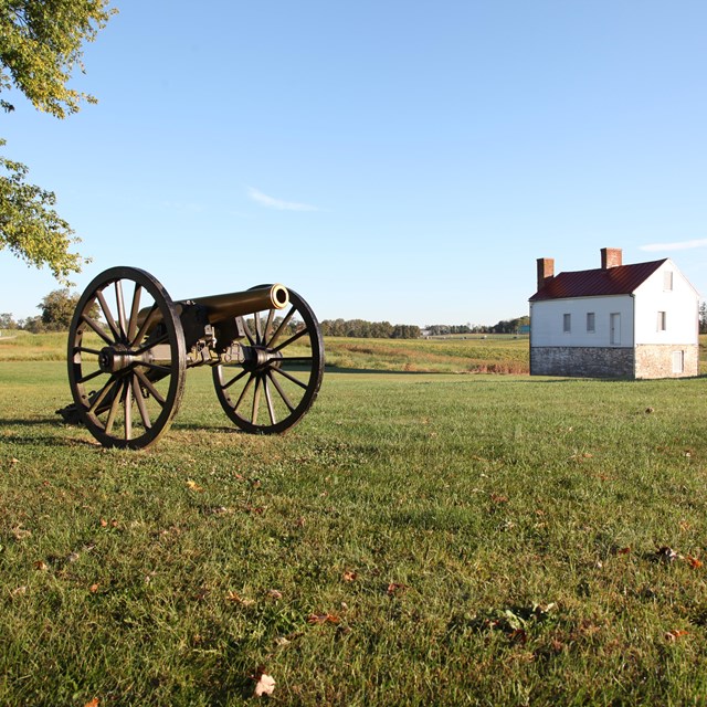
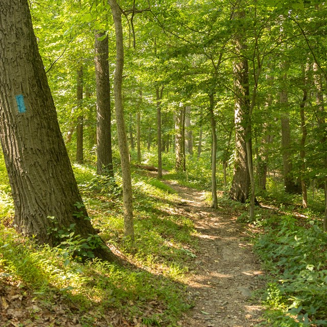
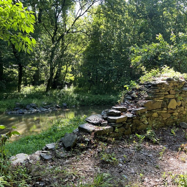
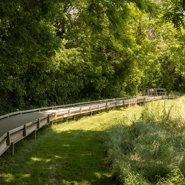
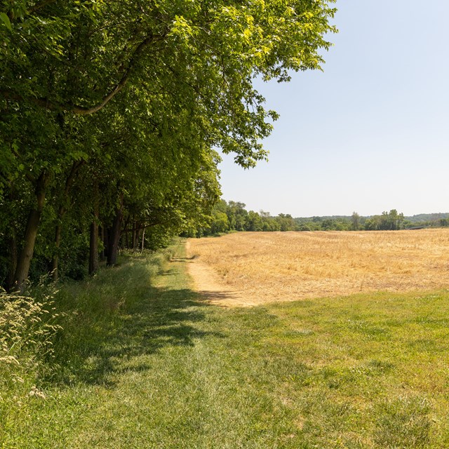
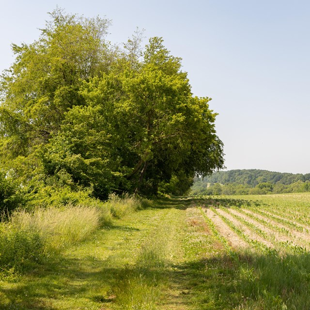
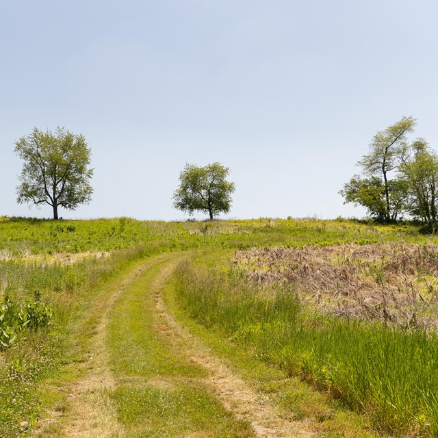
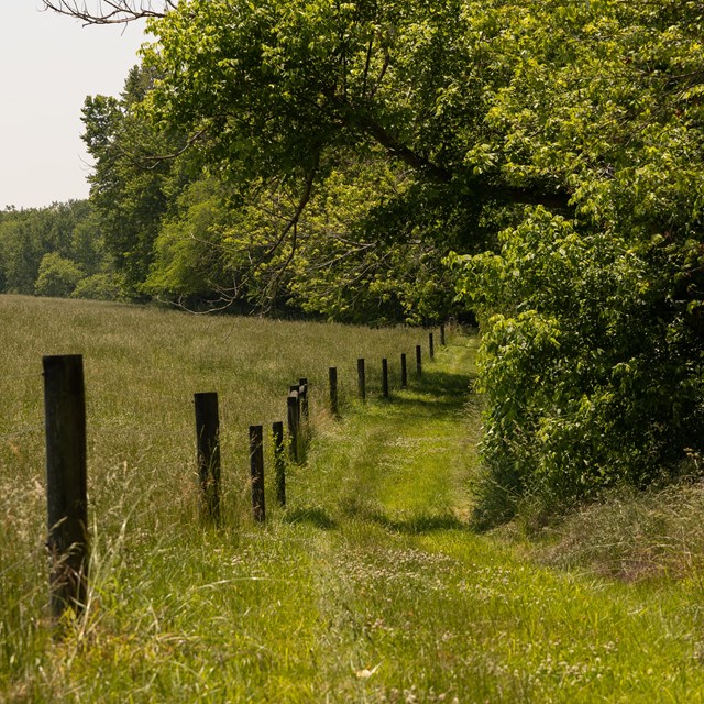
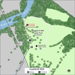
Explore Monocacy's walking trails and tour historic farms where the Battle of Monocacy raged in 1864. The Junction Trail starts at the park visitor center and covers the area where Jubal Early's Confederate forces deployed to attack the bridge at the river below. The Gambrill Mill area includes an accessible boardwalk to a view of the Monocacy River where Union forces put up a desperate defense. The Worthington Farm area is where Confederate forces crossed the river to flank the Union forces, and the Thomas Farm was hotly contested ground during the battle. Each of these farms has its own story as well; Best Farm was once the home to over 100 enslaved people and one of the largest plantations in Maryland. Along the way, you can discover Maryland's native plants and animals and take in scenic landscape views. Explore Monocacy's Trails
NPS TrailsVisitor Center Trailhead
Tour Stop #1 - Best Farm Trailhead
Tour Stop #2 - Worthington Farm TrailheadWorthington Ford Trail and High Water Bypass Trail
Tour Stop #3 - Thomas Farm Trailhead
Tour Stop #4 - Gambrill Mill Trailhead
Regulations
|
Last updated: September 11, 2024

