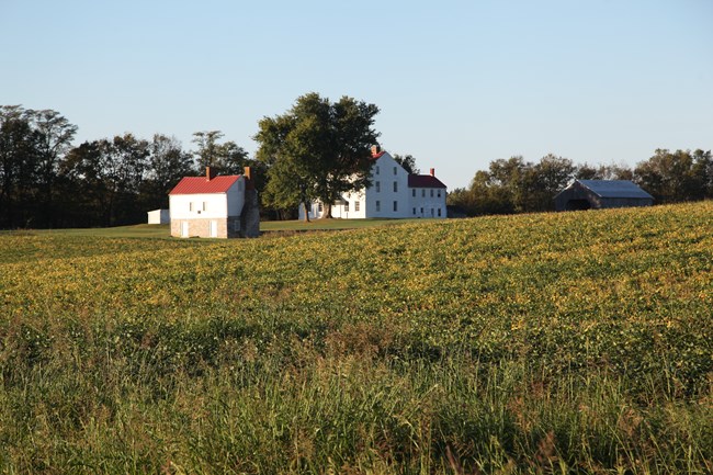
NPS / Nathan King The Best Farm Trail loops through a portion of the Best Farm, following a mowed path and the gravel road to complete the loop. Trail info
The Best Farm Trail consists of two loops in a figure-eight pattern. Most of this trail is mowed grass and follows the edge of farm fields; however, the middle part of the figure-eight (Best Farm entrance road) is a gravel lane. From this trail, you can cross under Urbana Pike (MD Route 355) to access the Junction Trail. Benches are located along the trail to offer places to rest and enjoy the surroundings. Please be alert for groundhog holes, uneven ground, and tree roots. HistoryThe Best Farm is on the former site of the L'Hermitage plantation from the late 1700s to the 1850s. The Vincendière family, who owned the land and the enslaved people living here, left Saint-Domingue (Haiti) for the United States in 1793, seeking to escape the threat of the French Revolution and the concurrent slave revolution in Haiti. They brought with them the unusual architectural elements reflected in the house and the barn, and the institution of slavery to an extraordinary degree. At slavery's height on the plantation, over 90 enslaved people lived on the plantation, many of them lodging in homes in the field below the Best Farm House. It is not clear why the Vincendières maintained such an abnormally large number of slaves, whether to work fields here or to be rented out for labor. Descendants of both the Vincendière family and the people they enslaved still live in this area.
|
Last updated: August 21, 2023
