
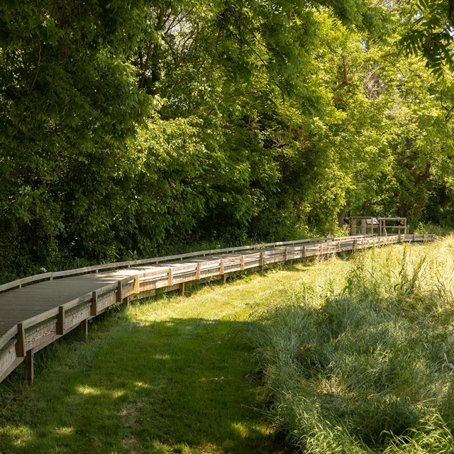
NPS / Kelsey Graczyk Trail info
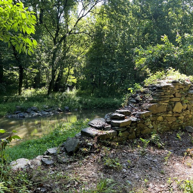
HistoryThe Gambrill Mill was historically part of a large land holding originally owned by James Marshall. At its peak, the mill could produce up to sixty barrels of flour per day. During the Battle of Monocacy, Union forces were positioned in battle lines in the yard of the mill. The building was set up as a field hospital, although as Major General Lew Wallace declared in his autobiography, "the place appeared well selected for the purpose, its one inconvenience being that it was under fire." As the Federal forces fell back towards Baltimore, Confederate troops moved in and occupied the mill and the surrounding area.
|

Last updated: August 25, 2023