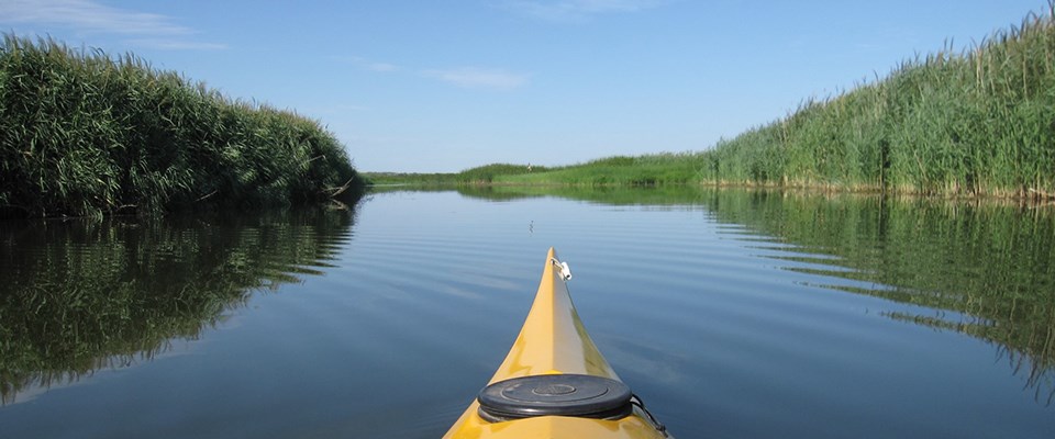
Photo by Tim Cowman The Lewis & Clark Lake delta begins near the Missouri-Niobrara River confluence (near the Running Water Access) and extends 16 miles downstream into Lewis & Clark Lake (near the Sand Creek Access). This portion of the MNRR Water Trail is characterized by numerous braided channels separated by densely vegetated sandbars. The delta is the result of a significant amount of sediment from the Missouri River, Niobrara River and other tributaries entering the slower moving waters of Lewis & Clark Lake. The delta is set in a unique landscape and offers a paddling experience that is different from that of the Missouri River main channel. The current here is slower than that of the river, allowing paddlers to travel upstream with relative ease and therefore the option to begin and end at the same location. Both the delta and Lewis & Clark Lake offer several access points, most of which feature water trail signage. Much of the delta is bordered by steep bluffs of the chalky Niobrara Formation. The delta's many channels are separated by numerous sandbars that are mostly vegetated with common reed grass and cattails. 
Photo by Tim Cowman |
Last updated: February 27, 2020
