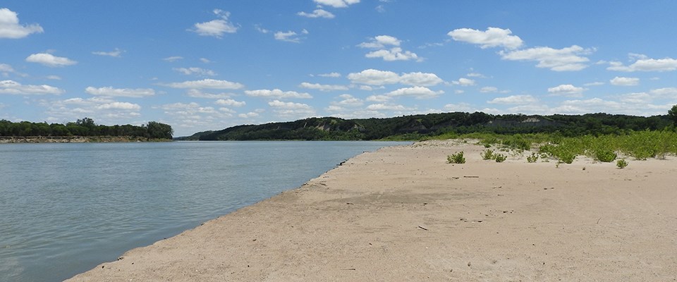
NPS photo Pre-Development EraThe pre-development Missouri River represented one of North America's most diverse ecosystems with abundant braided channels, riparian lands, chutes, sloughs, islands, sandbars, and backwater areas. These riverine and floodplain habitats were created and maintained by erosion and deposition which continuously reshaped the channel and floodplain. The Missouri carried high sediment loads, earning it the nickname "Big Muddy." Development EraThe Missouri River in the 19th and 20th centuries was developed for socioeconomic benefits, including flood control, navigation, irrigation, hydropower, water supply, and recreation, has been associated with substantive changes in its hydrologic and sediment regimes, water quality, and channel structure. The two Missouri River reaches comprising the park have been substantially affected by altered flow and sediment regimes, but minimally affected by channel engineering. Managing The River Today Learn more of the geomorphic classification study by visiting the site. |
Last updated: September 24, 2020
