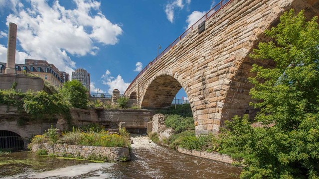
IntroductionThe Mississippi River's character changes more throughout the 72 mile (115 km) stretch of the Mississippi National River and Recreation Area than anywhere else along its 2,350-mile course. The river enters the northern corridor as a free-flowing prairie river and moves downstream to plunge over St. Anthony Falls and into the river's narrowest gorge. Eight and one-half miles later, the river exits the gorge to become the country's dominant floodplain river and part of the largest inland navigation system on earth.
Through the eight and one-half mile gorge, the Mississippi drops more than 110 feet, the river's steepest descent anywhere. The river's rapidly changing character explains why the national river and recreation area has such a unique concentration of nationally significant resources. 
History and Culture
Explore the history and culture of the park. 
Nature
Explore the nature of the park. 
Photos and Multimedia
Explore the park through photographs and multimedia. 
Kids and Youth
Kids and youth can explore the park! 
Federal and Local Action Reviews
The NPS reviews federal and local actions within the boundaries. |
Last updated: October 1, 2024
