
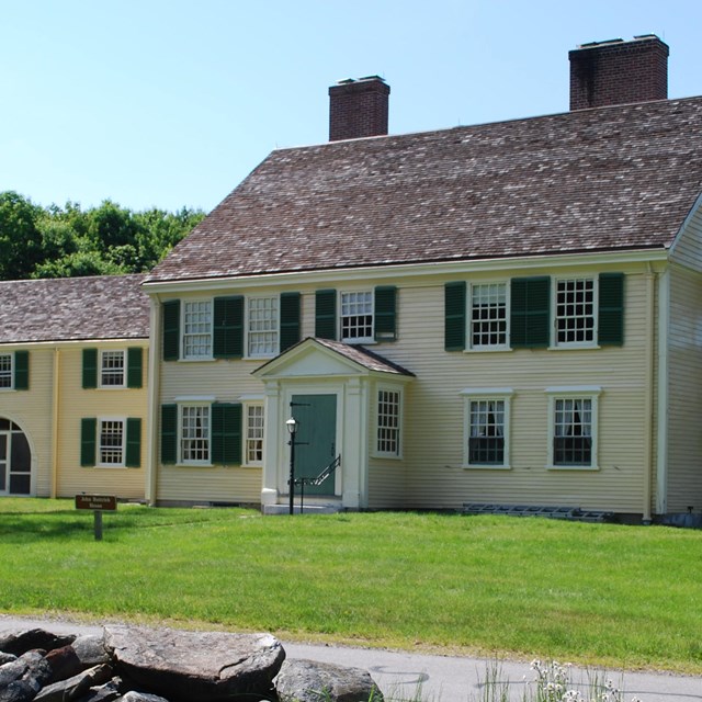
Richard Cheek
IntroductionFollowing the fighting at Meriam’s Corner, the now embattled British column continued their march east towards Boston and safety – more than 16 miles away! As they did so, militia and minute man companies continued to pour into the area to engage the British. At Meriam’s Corner companies from Reading, Chelmsford and Billerica arrived in time to attack the rear of the column. Those men then cut across the fields to engage the British further east while other companies from Sudbury arrived from the south and attacked the column in the Brooks Hill area . Companies from Concord, Lincoln, Bedford and Acton, who had fought at North Bridge earlier that morning ,were also in pursuit. Meanwhile, 3 companies from the town of Woburn who had arrived shortly before were soon to make their presence felt as the road headed east from Brooks Hill into the town of Lincoln. The Road and LandscapeThe road, as it continued east, descended Brooks Hill about a mile from Meriam’s Corner. At the bottom of the hill the road crossed “Tanner Brook” at “Lincoln Bridge.” Now crossing the border into Lincoln the road climbed into a wooded upland. It then turned sharply to the northeast (left) cutting through the hillside. It then continued northeast for about a quarter of a mile until it made another sharp turn continuing east. 
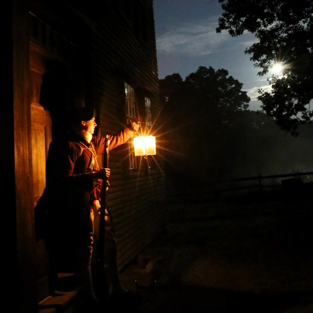
NPS Woburn AttacksAs the British column descended the east side of Brooks Hill, they came to “Lincoln Bridge.” The Woburn companies of Captains Belknap, Fox and Walker, led by Major Loammi Baldwin (Col. Green’s Regiment, 2nd Middlesex), took a position on the high ground east of Lincoln Bridge. They had somewhere between 180 – 200 men and may have also been joined by companies from Framingham as well. According to the account of Major Baldwin… 
NPS Between Two FiresThe Woburn companies opened a brisk fire then fell back toward the second turn in the road, firing from new positions as opportunity allowed. As the British column plunged ahead passed the southern turn they were soon met by a heavy fire from their left (west side of the road). Militia volunteer Edmond Foster, who came into the fight at Meriam’s Corner, describes this best… “We saw a wood at a distance, which appeared to be in or near the road the enemy must pass. Many leaped over the wall and made for that wood. We arrived in time to meet the enemy. There was then, on the opposite side of the road, a young growth of wood well filled with Americans. The enemy was completely between two fires, renewed and briskly kept up. They ordered out a flank guard on the left to dislodge the Americans from their posts behind large trees but they only became a better mark to be shot at. A short but sharp contest ensued, at which the enemy received more deadly injury, than at any one place from Concord to Charlestown. Eight or more of their number were killed on the spot, and no doubt, many wounded.” 
NPS A British Officer’s ViewThe accounts of Baldwin and Foster paint a vivid picture of how the militia and minute men were able to use the landscape to their advantage when attacking the British column. Baldwin states that when the British approached, his men scattered and opened fire. Foster’s account mentions that the British column was being shot at from both sides of the road, “between two fires…” The account of British officer, Lieutenant William Sutherland ties them together by indicating the rebels dispersed prior to opening fire, then the column began taking fire from the left as well as the right. ConclusionThis area of Minute Man NHP known currently as “Bloody Angle,” while still the subject of inquiry and investigation, is one of the few places on the April 19, 1775 Battle Road where first-hand accounts corroborate each other and are supported by the landscape. Here we see militia officers thinking carefully about where and how to deploy their soldiers to the best advantage, as opposed to a chaotic running fight. It is also interesting to note that, like the fight at Meriam’s Corner, a bridge appears in the tactical landscape and likely played a role in slowing and constricting the progress of the British column. SourcesSabin, Douglas “April 19, 1775: A Historiographical Study, Part V, Meriam’s Corner through Lincoln” pg 8-11, Minute Man National Historical Park, National Park Service, U.S. Department of the Interior, Concord MA, 1985 Dietrich-Smith, Deborah, “Cultural Landscape Report for Battle Road Unit, Minute Man National Historical Park” National Park Service, Olmstead Center for Landscape Preservation, Brookline MA 2005 Ripley, Ezra, “A History of the Fight at Concord, on the 19th of April, 1775” pg 30, Allen & Atwill, Concord MA 1827 Kehoe, Vincent, “We Were There! April 19th 1775, The British Soldiers” Chelmsford MA 1975 Continue The Story: |

Last updated: November 23, 2021