Geology and Ice Age Floods
Geology
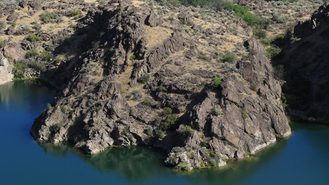
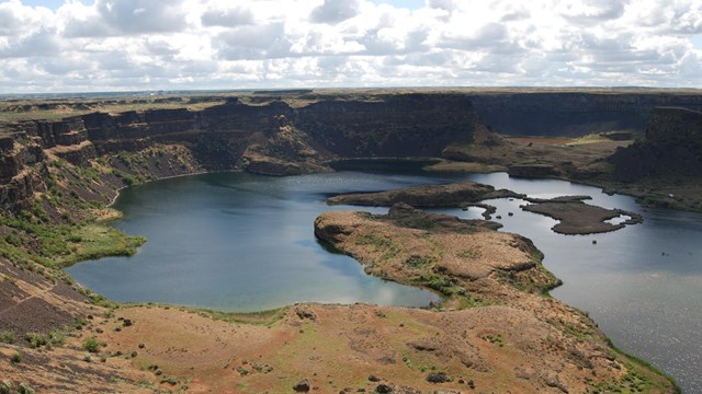
Granite, basalt, and large coulees make the complex puzzle that is Lake Roosevelt. 
Ice Age Floods National Geologic Trail
At the end of the last Ice Age, great floods crashed through the landscape, sculpting the northwestern United States. Lake Roosevelt National Recreation Area spans three distinct geologic provinces: the Okanogan Highlands, the Kootenay Arc, and the Columbia Plateau. The landscape has been shaped by gradual forces of uplift and erosion, and by sudden cataclysmic events. Over millions of years, intermittent lava flows created the Columbia Basin. Tectonic action later uplifted these volcanic basalt layers. The Cascade Mountains rose and created a rain shadow, reducing the amount of precipitation in the Columbia Basin and Okanogan highlands. During the last Ice Age, a series of massive floods scoured the coulees and created the channels scablands. Ecosystems
Channeled Scablands
This shrub-steppe ecosystem is filled with large shrubs, broadleaf wildflowers, and a large diversity of grass species. 
Okanogan Highlands
An extension of the Rocky Mountains, this ecosystem has a more mountainous climate and is dense with conifers. Lake Roosevelt marks a transition zone between the desert-like Columbia Basin to the south and the slightly wetter Okanogan Highland to the north. |
Last updated: August 20, 2023
