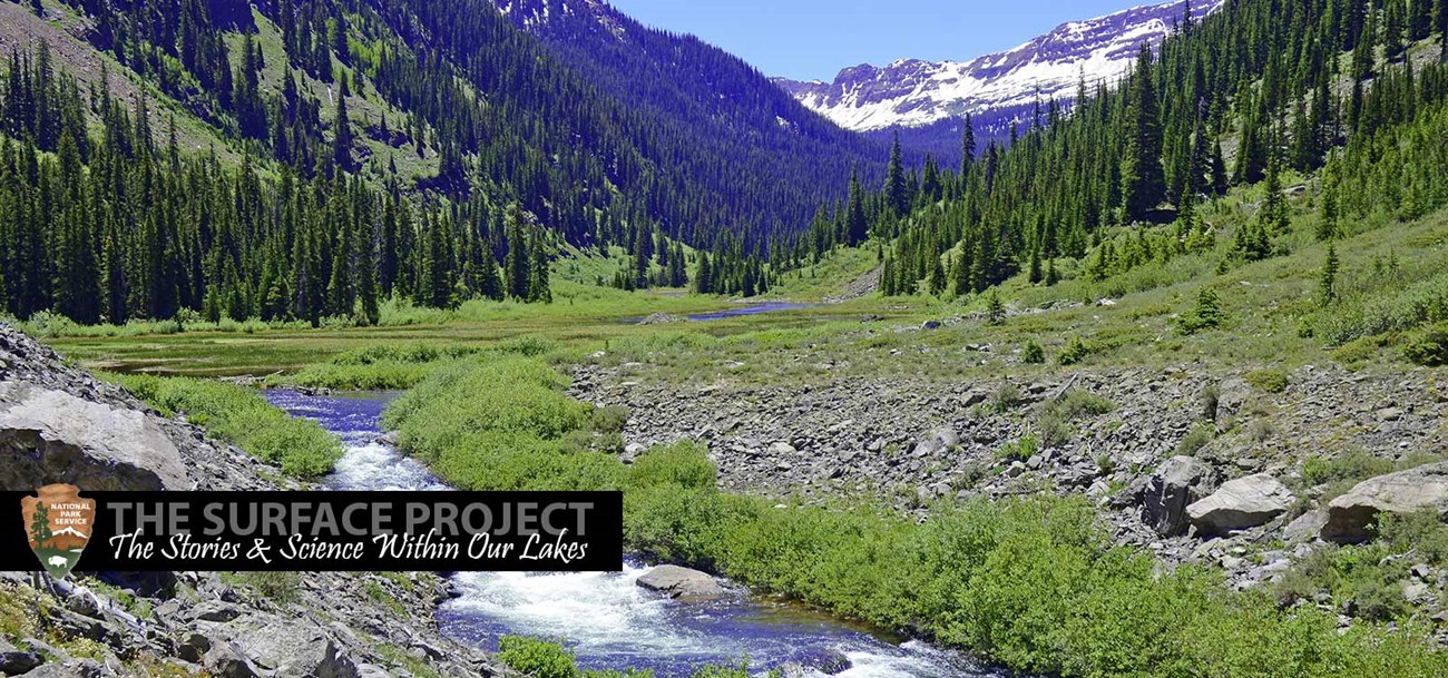
Where does the water in Lake Mead and Lake Mohave come from?In the midst of the dry, dusty Mojave Desert, Lake Mead and Lake Mohave are welcome sights. Their cool water hosts life of all sorts, from sportfish and waterbirds to swimmers and boaters. But the trillions of gallons of water that fill these reservoirs do not originate in Nevada or Arizona; in fact, they have travelled hundreds of miles to get there. And it all begins with a snowflake. High on the western slope of Colorado’s Rocky Mountains, storms gather during winter and early spring. After carrying moisture over a thousand miles from the Pacific Northwest, these storms drop snow along the Rockies’ towering mountaintops and ridges.  As warming temperatures melt this snowfall, water trickles downhill and begins its journey down the Colorado River1. The Colorado River begins as a small mountain stream, but as it picks up more and more of the melted snow, it swells into a coursing river. About ninety-seven percent of the water that will end up in Lake Mead and Lake Mohave begins as precipitation in the Rockies, but it still has a long way to go before reaching these lakes. Along the way, the Colorado River flows across cold mountain meadows, sweeps along rocky rapids and carves its way through granite and sandstone landscapes. Eventually, after snaking through the Grand Canyon, the river empties into the eastern end of Lake Mead. 
The Colorado River takes many forms during its 1450-mile journey across the West, from a meandering alpine stream to raging rapids. However, not all the water in Lake Mead comes from the Colorado River. Flowing from the north, the Virgin and Muddy Rivers converge in the lake’s Overton Arm. Another water source arrives from the west, where the Las Vegas Wash carries urban runoff, storm water and reclaimed water from the Las Vegas Valley into Lake Mead. For most of the year, the Virgin River, Muddy River, and Las Vegas Wash contribute a mere three percent of Lake Mead’s water. But during intense floods, these water sources surge, and for short periods their flow into the lake can even top that of the mighty Colorado River. 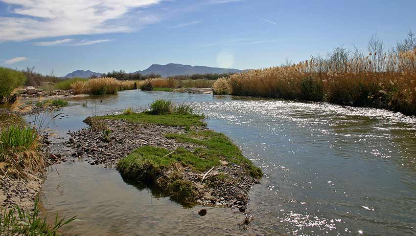
During intense floods, the Las Vegas Wash surges and feeds large amounts of water into Lake Mead from the West. Upon reaching Lake Mead, water from all these sources mixes and flows downstream through the basins. On average, it takes water about 2.6 years to make its way through the entire lake. Along the way, some is piped out for local use; about ninety percent of Las Vegas’ water comes from Lake Mead. 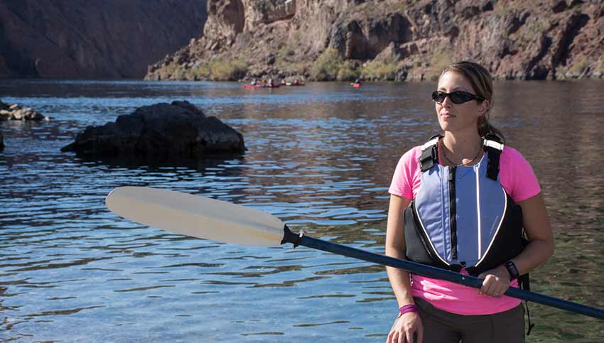
The flow from Black Canyon is Lake Mohave’s only major water source. The 1,450-mile Colorado River system is incredibly dynamic. It is fueled by ever-shifting weather patterns and is subject to geology, geography, climate change and human impacts. In recent years, drought conditions have reduced snowfall in the Rocky Mountains, yet the demand for water has increased, drastically lowering water levels in the lakes. The Colorado River has been flowing for millions of years and is a well-established, huge and naturally-replenished source of water. But it is also a resilient system. The Colorado River has been flowing for millions of years and is a well-established, huge and naturally-replenished source of water. Additionally, careful management and conservation can improve its resiliency even further, ensuring that the needs of a growing population won’t upset the system’s natural balance - a balance that begins far away, with a snowflake landing high on a mountain slope. 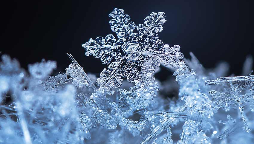
The Colorado River travels hundreds of miles, and it all begins with a snowflake. Sharing the River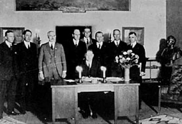
Commerce Secretary Herbert Hoover presides over the signing of the Colorado River Compact, Bishop's Lodge, outside Santa Fe, New Mexico, November 1922. The Colorado River basin is made up of parts of California, Arizona, Nevada, Utah, Wyoming, New Mexico, Colorado, and northern Mexico. During the early 1900’s, lower basin states were experiencing rapid development, resulting in growing demands for water. This progress threatened slower-developing northern states that were worried about their future rights to water. The threat was intensified by states such as Arizona and California requesting federal support for the construction of dams and other flood control structures to protect valuable croplands. The need for a water treaty between states was imminent and resulted in the unprecedented Colorado River Compact of 1922. This Compact endeavored to ensure everyone’s fair share of the river and would be the first in many treaties, agreements, laws and court decisions collectively known as the “law of the river.” Read MoreUsing Real-Time Data to Monitor the Colorado River
Real-time data helps reveal changes that might otherwise not be noticeable and highlight cause and effect relationships between factors. Methods and techniques change over the years, but a new wave of gathering information is upon us. We expect instant communication through Internet searches, emails and text so why not instant information about the Colorado River? |
Last updated: April 4, 2017
