An official website of the United States government
Here's how you know
Official websites use .gov A
.gov website belongs to an official government
organization in the United States.
Secure .gov websites use HTTPS A
lock (
) or https:// means you've safely connected to
the .gov website. Share sensitive information only on official,
secure websites.
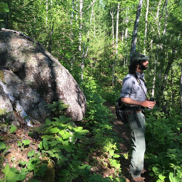
By conducting research at nine Great Lakes area sites, understanding of natural resources will improve across the region.
NPS Photo
Biologists with the National Park Service’s Inventory and Monitoring Division help to improve park management through greater reliance on scientific knowledge by conducting long-term monitoring of park “vital signs”–– physical, chemical, and biological elements and processes that represent the overall health or condition of the parks’ natural resources. The Great Lakes Inventory and Monitoring Network is comprised of nine parks whose major resource is water. Network biologists work with park managers and others to conduct long-term monitoring. The network has resource briefs and reports from studies conducted on Isle Royale available on their webpage.
The monitoring we do at Isle Royale looks for trends in the health of inland lakes, forest vegetation, and populations of songbirds, amphibians, and bats. What we learn from these monitoring programs helps park managers to decide if more in-depth research is needed or when some sort of management action may be required to protect the island’s natural systems. Because the data are collected the same way at eight other national parks in the region, we can compare Isle Royale with other parks and estimate the health of wild lands across the region. Monitoring these vital signs today gives us a chance to see warning signs of declining health when they first appear, take action, and reverse the decline before it’s too late.
Goals
Establish long-term monitoring programs based on park management objectives and information needs.
Collect and organize data, put the park into regional context, and provide information to park managers, staff, and the public.
Song meters, or "frog loggers," allow researchers to compare notes of Isle Royale's ten amphibians.
NPS Photo
Amphibians
There are ten amphibian species on Isle Royale: six frogs, three salamanders, and one toad. Amphibians have two life stages, a larval stage that is lived in the water and an adult stage that is lived on land but returns to water for breeding.
Amphibians are considered a “vital sign” because they are sensitive to environmental changes and can serve as indicators of both aquatic and terrestrial habitat quality.
There are ten recorders (“frog loggers”) placed at different wetlands around the island each summer that record singing frogs and toads for five minutes every hour between 3:00 pm and 3:00 am every day for 14 weeks (98 sampling days). Salamanders are surveyed by searching for and identifying egg masses in the same wetlands.
The Northern Long-eared Bat is considered threatened under the Endangered Species Act.
Paul Brown
Bats
As white-nose syndrome (WNS) expands and causes declines in bat populations, the NPS has determined that monitoring these populations can help inform appropriate management of bats within the parks.
Similar to amphibian monitoring, but using microphones that detect the ultrasonic calls of bats, there are 10 song meters placed around the park. They record calls between 6:00 pm and 8:00 am over a 7-14 day period between June 1 and August 15 continuously .
Measuring tree diameters is one way researchers can determine the age structure of a forest plot.
NPS Photo
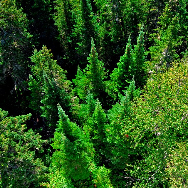
Forest Vegetation
How do island forests change over time? To learn and understand such changes, forest ecologists visit 52 sampling plots representing five forest types scattered across the island.
Points are visited every 10 years to identify, count, and measure trees, saplings, shrubs, and ground layer plants, as well as measuring the amount of coarse woody material (down trees).
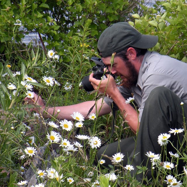
Monitoring efforts seek to broaden understanding of pollinators on Isle Royale.
Valerie Martin
Pollinators
Pollinators are being threatened across the globe by habitat loss and climate change. Little is known about the pollinator population on Isle Royale, but researchers are seeking to understand by monitoring Lepidoptera, also known as butterflies and moths. This monitoring is achieved in part by the public's contributions to the Isle Royale Community Science program.
Past pollinator surveying projects have assessed the presence of Oeneis macounii, the Macoun's Arctic butterfly, on the island. Isle Royale is the only location in Michigan where this species is observed.
Forest pathogens are the most common form of disturbance on Isle Royale.
NPS Photo
Landscape Dynamics
Disturbance (fire, wind storm, flood, insect or disease outbreaks) is an important part of how the boreal ecosystem functions here at the southern edge of its range.
Disturbed areas are identified and classified using a set of satellite imagery and aerial photography spanning a period of six years or more.
Disturbances on Isle Royale are most often caused by forest pathogens, beaver, or wind events.
Methylmercury levels in dragonfly larvae can impact the entire aquatic food chain.
Sean Bailey
Mercury Contamination
Great Lakes Network parks, including Isle Royale, are part of the national Dragonfly Mercury Project, in partnership with the University of Maine, the NPS Air Resources Division, and parks across the country.
By measuring methylmercury contamination in dragonfly larvae, we can learn about contamination throughout the aquatic food web.
Larval dragonflies are collected annually from four of the island’s inland lakes––Angleworm, Harvey, Richie, and Sargent.
More than 1,400 birds of 89 species have been recorded since 1996.
NPS Photo
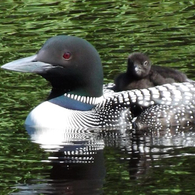
Songbirds
There are 130 survey points on eight trails across the island. A five-minute count is done at each point during the month of June to document all birds heard and seen.
There are twelve species showing significant population increases on the island, while nine other species are declining. Ravens present a mystery and a concern, as they are declining at a rate of 3% per year despite showing increasing trends throughout the region.
Researchers use a multi-probe instrument to measure dissolved oxygen, pH, and other chemical parameters of lake water.
NPS Photo
Water Quality
Water quality of the park’s inland lakes is important not just to aquatic life, but also to visitors who get their water from them, and occasionally hope to catch some fish.
Chemical (such as dissolved oxygen, pH, and chlorophyll) and physical (water clarity and water level) data are collected from each of nine lakes once a month during the open-water months.
Temperature data is also collected year-round from one lake, using a set of temperature sensors strung along a line running from the surface of the lake to the bottom. Year-round temperature data combined with the annual sampling give us a bigger picture of lake health.
Data from six weather stations on Isle Royale are gathered together on the Climate Analyzer website.
NPS
Weather and Climate
Weather and climate data collected by six existing stations on Isle Royale are collated onto the Climate Analyzer website.
Users can create tables and graphs of the data, some of which goes back to 1940.