
Getting There Trailhead Parking Lots Main Lot (north): 1450 North Mineral Springs Road, Dune Acres, IN 46304
Trailhead GPS Coordinates Main (north): 41.645191, -87.084633 (Decimal Degrees) Greenbelt (south): 41.636898, -87.087185 (Decimal Degrees)
Need to Know Hours & Information
Trail Map Click here for a list of all hiking trail maps of the Indiana Dunes National Park. Download a national parks interactive trail guide phone app. Apple or Android. Paper trail maps are available at the trailhead kiosk and the Indiana Dunes Visitor Center. 
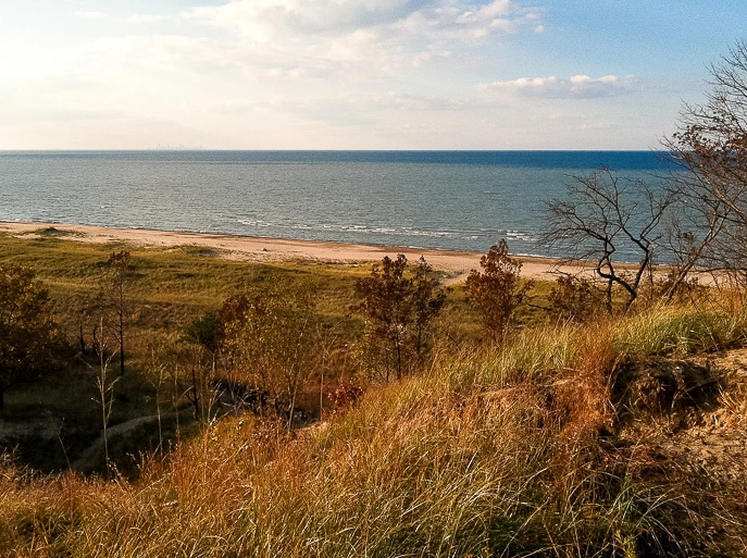
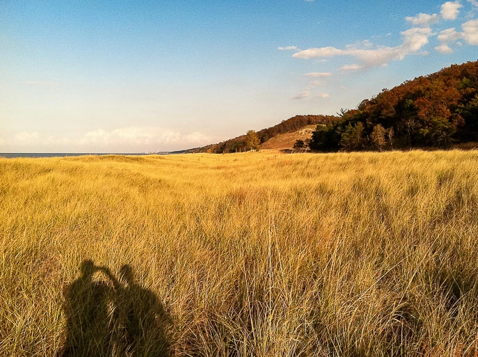
Featured Hikes History and BackgroundHenry Cowles was a botanist from the University of Chicago. He published his dissertation, entitled "An Ecological Study of the Sand Dune Flora of Northern Indiana". He later published his thesis, in modified form under the title, "The Ecological Relations of the Vegetation on the Sand Dunes of Lake Michigan." The Botanical Gazette helped establish Cowles as the "father of plant ecology" in North America. The article brought international attention to the intricate ecosystems existing on the dunes. Nearby Hikes West Beach Paul H. Douglas (Miller Woods) Portage Lakefront and Riverwalk Click here for a list of all hiking trails in the Indiana Dunes National Park. Photos 

|
Last updated: February 9, 2023