NPS Photo
Importance and Issues
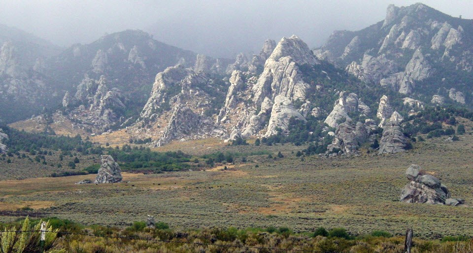
Sagebrush steppe is the most abundant vegetation type in the Upper Columbia Basin Network. Significant portions of the sagebrush steppe have been converted to agriculture and grazed rangeland, and much of what remains has been degraded through altered fire regimes and the invasion of introduced plants. These changes have resulted in native flora and fauna declines, decreased soil stability, and reduced hydrologic function. Land use practices both within and adjacent to the network parks continue to fragment and alter steppe ecosystems and predicted climate change scenarios will likely intensify these stresses on the landscape.
Plant invasion and shifting community composition and species abundance is the overarching concern for park managers. Indicators of sagebrush steppe biotic integrity, hydrologic function, and soil/site stability are the focus of our monitoring, which will give parks the information needed to gauge progress in maintaining and restoring native plant communities.
Monitoring Objectives
- Determine the status (current condition) and trends (change in condition over time) in the composition and abundance (cover) of principal native plant species in UCBN sagebrush steppe communities.
- Determine the status and trends in composition and abundance (cover) of principal invasive plant species, including annual grasses, in UCBN sagebrush steppe communities.
- Determine the status and trend in the amount of exposed soil (cover), a fundamental indicator of soil stability.
-
Monitoring the Sagebrush Steppe
Monitoring sagebrush steppe habitat on NPS lands helps NPS land managers know what is happening to that habitat over time, so that they can better manage and protect it for future generations.
- Duration:
- 8 minutes, 47 seconds
Source: NPS DataStore Saved Search 728. To search for additional information, visit the NPS DataStore.
Source: NPS DataStore Saved Search 721. To search for additional information, visit the NPS DataStore.
Source: NPS DataStore Saved Search 887. To search for additional information, visit the NPS DataStore.
Last updated: August 16, 2024

