NPS
SCPN Monitoring Sites Webmap (NPS staff only)
Landscape processes related to climate, geology and hydrology operate over a range of scales and influence the distribution, abundance and productivity of plants and animals. This, in turn, influences the development and maintenance of ecosystems. Phenology refers to the timing of periodic plant and animal life cycle events, such as spring greenup, flowering, and animal migration. It is an indicator of an ecosystem's response to environmental variables, most notably climate. Scientists measure and monitor phenology using remote sensing data, typically acquired from earth orbiting satellites. Phenological monitoring of vegetation allows us to examine the status and trends in the integrated vegetation response to climate variability and climate trends.
Scientists project that climate change will affect the western United States in a number of ways:
- warmer temperatures
- lower winter precipitation
- a longer growing season with increased water stress
The effects of these changes in moisture availability are already being experienced in this region. Drought, associated insect outbreaks, and increased fire frequency and severity are evidence of this. Monitoring vegetation phenology may provide us with early indications of whether current vegetation can persist under these projected conditions, or whether there may be gradual or sudden vegetation type shifts.

NASA
Monitoring Objectives
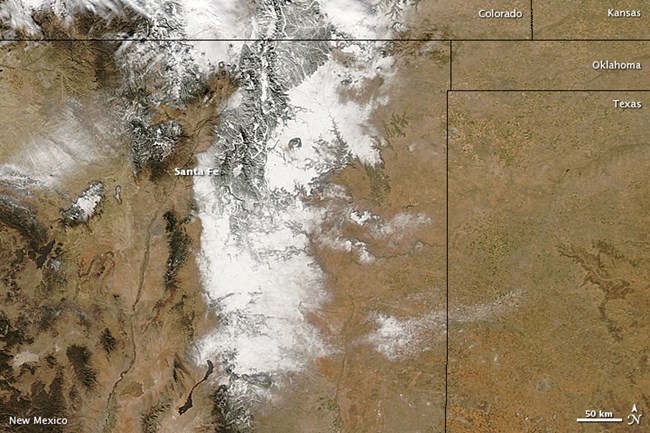
The Southern Colorado Plateau Network (SCPN) is using Moderate Resolution Imaging Spectroradiometer (MODIS) satellite data to monitor the phenology and condition of vegetation in SCPN parks. All MODIS data used in this project are provided by NASA through the NASA Land Processes Distributed Active Archive Center (LP DAAC) at the USGS/Earth Resources Observation and Science (EROS) Center, Sioux Falls, South Dakota.
Monitoring objectives are
-
Determine annual status, interannual variability, and long-term trends in the timing of peak seasonal vegetation greenness.
-
Determine annual status, interannual variability, and long-term trends in the intensity of seasonal vegetation greenness.
Vital Signs and Metrics
Initially SCPN is reporting a conservative set of phenological statistics for individual pixel locations and as ecosystem-wide values. These include
1. Annual measures of peak seasonal greenness:
- peak spring NDVI (March-June)
- peak monsoon season NDVI (July-October)
- annual peak NDVI
2. Growing season timing:
- timing of peak spring NDVI
- timing of peak monsoon season NDVI
- timing of annual peak NDVI
Additional metrics and ecosystems will be added in the future.
Monitored in These Parks
Monitoring Project Status
SCPN has MODIS satellite data covering SCPN parks from 2000 to the present. Currently, the network is working on addressing challenges in processing and analyzing MODIS data for arid ecosystems. The Satellite-based Vegetation Phenology and Condition, and Snow Cover Extent Monitoring Protocol for the Northern and Southern Colorado Plateau Networks was published in 2017.
Project Contact
Jodi Norris, Landscape and Quantitative Ecologist
Reports and Publications
Thoma, D., J. Norris, and P. Lauck. 2017.Satellite-based Vegetation Condition and Phenology, and Snow Cover Extent Monitoring Protocol for the Northern and Southern Colorado Plateau Networks. Natural Resource Report NPS/SCPN/NRR—2017/1533. National Park Service, Fort Collins, Colorado.
Norris, J.R., 2020. Standard Operating Procedure 1: Land Surface Phenology Data Processing Overview for the Southern Colorado Plateau Network. National Park Service, Southern Colorado Plateau Network, Flagstaff, AZ.
Last updated: February 6, 2025
