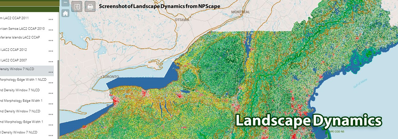
OverviewLand cover, in its naturally occurring condition, integrates and reflects a given site's climate, geology and soils, and available biota over a time span of decades or longer. Patterns and landscape characteristics are important in understanding the extent, availability, and condition of lands. The Environmental Protection Agenvy (EPA) considers land cover information to be critically important for a number of reasons, including the ability to assess nonpoint sources of pollution, to understand landscape variables for ecological analyses, to assess the behavior of chemicals, and to analyze the effects of air pollution. Landscape Dynamics Along the Appalachian TrailFor the Appalachian Trail (APPA), land cover data provide key information on the extent of ecological systems that can be integrated across multiple spatial scales.With its low land area to perimeter ratio, APPA is especially vulnerable to outside activities. The trail is the focus of a recent NASA grant to integrate satellite imagery with readily available Geographic Information System (GIS) data, ecological models, and project-specific data to produce an improved Decision Support System (DSS; Wang et al. 2008). NETN Water Quality & Quantity Monitoring MaterialsStaff Contacts for Landscape DynamicsProgram Manager: Aaron WeedA.T. Environmental Monitoring Coordinator: Fred Dieffenbach Data Manager: Adam Kozlowski |
Last updated: March 21, 2018
