Collecting data is the first step to understanding the ecosystems in and around our national parks. Having this information helps park managers make informed decisions to better protect wildlife, environment, and other natural resources. At the Northeast Coastal and Barrier Network (NCBN), we manage data and information. Mostly, we ensure that the integrity, utility, security, and availability of data are preserved in the long-term. Below are publications and resources related to data collected from our ecological monitoring work.
Our Data
-
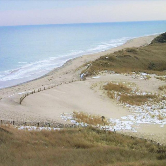
 Monitoring DataCoastal Topography
NCBN Coastal Topography Monitoring Data
-
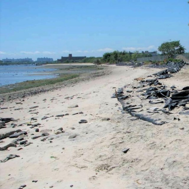
 Monitoring DataOcean Shoreline Position
NCBN Ocean Shoreline Position Monitoring Data
-
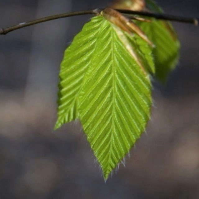 Monitoring DataForest Vegetation
NCBN Forest Vegetation Monitoring Data
-
 Monitoring DataEstuarine Nutrient Enrichment
NCBN Estuarine Nutrient Enrichment Monitoring Data
-
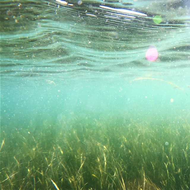
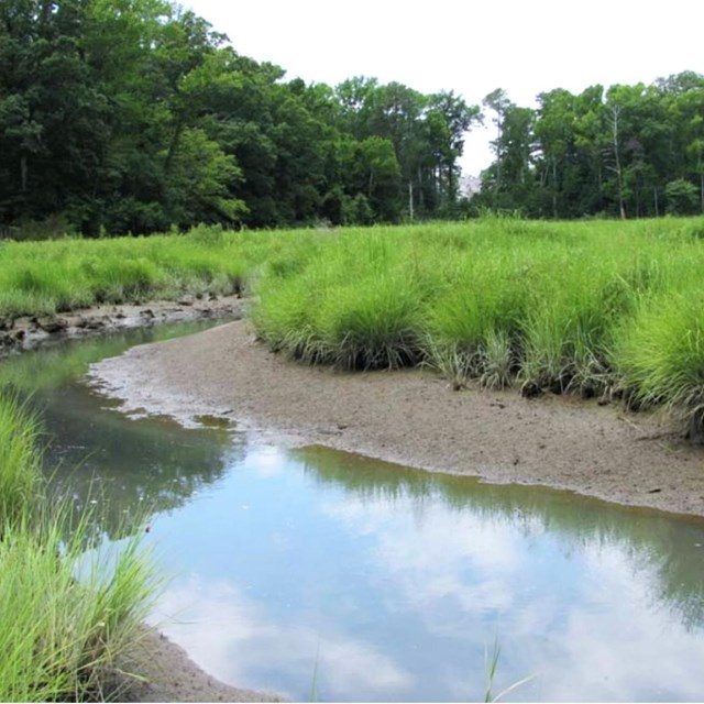 Monitoring DataSalt Marsh Vegetation and Nekton
NCBN Salt Marsh Vegetation and Nekton Monitoring Data
-
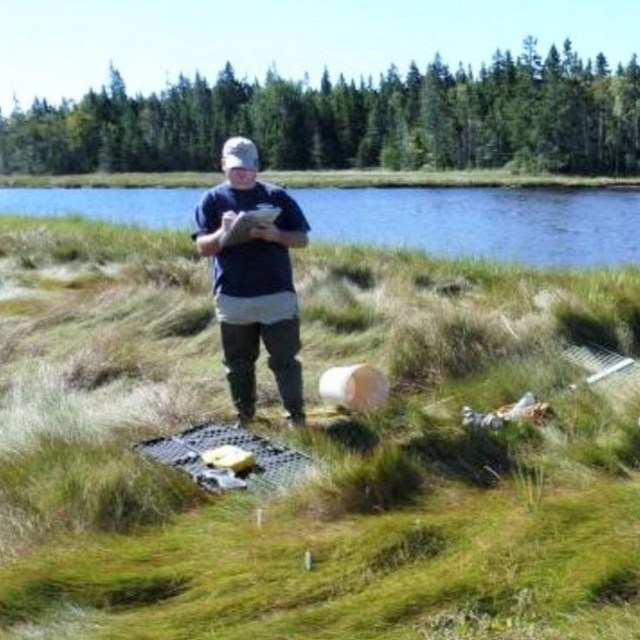 Monitoring DataTidal Wetland Elevation
NCBN Tidal Wetland Elevation Monitoring Data

Explore Visualized Data
We have a collection of data visualizers that show how ocean shorelines have changed over time at NCBN parks. The data used to create these visualizations come from shoreline monitoring at Assateague Island National Seashore, Fire Island National Seashore, Gateway National Recreation Area, and Sagamore Hill National Historic Site.
Explore the visualizers
Last updated: November 18, 2021