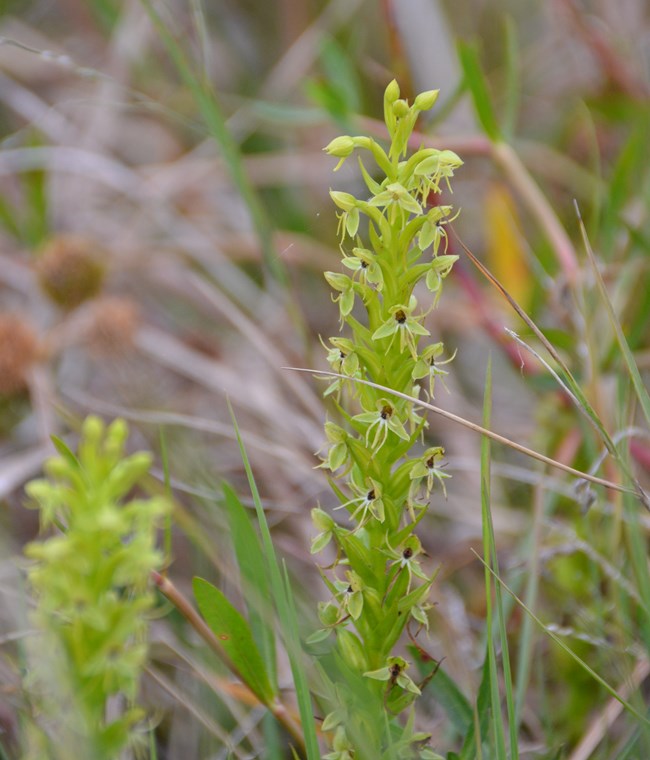
NPS/Jane Carlson
Gulf Coast Network parks contain unique and varied plant communities, from the hyper-diverse groundcover layer of pine savannahs to the species-rich forests of Mississippi and northern Florida. Plant communities are the foundation for most terrestrial ecosystems, and changes in vegetation can serve as important indicators of widespread transformation. Therefore, monitoring this plant diversity is a high priority for the network, and provides useful information for natural resource managers.
Many important questions about the status of plant communities in parks can be answered by monitoring plants in 20 x 20 meter, long-term plots. In these plots, all plant species are identified, and in nested subplots, the relative frequency and percent coverage of each species are recorded. Data are also collected on tree growth, recruitment and mortality.
The complete background, rationale and procedures for terrestrial vegetation monitoring by the network are described in a protocol narrative and 11 standard operating procedure (SOP) documents. The protocol is titled "Monitoring Terrestrial Vegetation in Gulf Coast Network Parks." It was published in the NPS Natural Resource Report Series in late 2018, and it is available to the public through IRMA, following the links further below.
A summary of the vital sign and monitoring approach can also be found in the 2-page brief: Terrestrial Vegetation Monitoring Program Summary.
This long-term monitoring project has the potential to detect a wide range of plant species across all parks. Even so, only fraction of each park's area is actually sampled, as selected through a random draw of 10-56 plot locations per park. To learn about the full list of plant species for each Gulf Coast Network park, see our park-specific inventory reports and species lists for terrestrial vegetation.
Broad-scale vegetation community mapping inventories have also be performed in most Gulf Coast Network parks, and a list of those reports and products is included further below.
Gulf Coast Network Web Articles on Vegetation Monitoring
Source: NPS DataStore Saved Search 3496. To search for additional information, visit the NPS DataStore.
Source: NPS DataStore Saved Search 571. To search for additional information, visit the NPS DataStore.

Photo by Chris Adams

NPS photo

Jane Carlson/NPS

Jane Carlson/NPS
Last updated: May 13, 2025
