Chris Adams
Overview
Padre Island National Seashore was established in 1962, and consists of approximately 130,000 acres of land and water. At 70 miles, it is the longest stretch of undeveloped barrier island in the world, and ranges in width from 0.5 to 3 miles. The authorized boundary of the seashore includes not only the barrier island itself, but also portions of the

Joe Meiman/NPS
Ecosystems at Padre Island National Seashore
There are a number of aquatic and terrestrial ecosystems in this park, although the bulk of the land area falls into one of three categories:
- Coastal and near-shore-marine ecosystems, including beaches and dunes, tidal marshes and flats, and seagrass meadows
- Grasslands, and
- Freshwater wetlands and freshwater aquatic ecosystems
Beginning on the Gulf side and going west to the Gulf Intracoastal Waterway, the park includes the nearshore waters, the beach foreshore (swash zone), the beach backshore (from high-tide line to dunes), foredunes, vegetated grassland flats (dominated by seacoast bluestem [Schizachyrium littorale] and gulfdune paspalum [Paspalum monostachyum]) with some shallow fresh- or brackish-waterbodies, occasional back-island dunes, wind-tidal flats (including algal flats of Lyngbya confervoides), and shallow, hypersaline seagrass beds in the lagoon. The interplay of climate, physiography, and geomorphology results in a landscape that is largely shaped by wind.
Very little surface freshwater is available from terrestrial sources adjacent to the Laguna Madre or on

NPS/GULN

GULN NPS
Vital Signs Monitored at Padre Island NS
The Gulf Coast Network monitors four indictors of ecological health --called vital signs-- at this park. They areSource: NPS DataStore Saved Search 3718. To search for additional information, visit the NPS DataStore.

A Closer Look at a Selected Vital Sign: Seagrass Monitoring
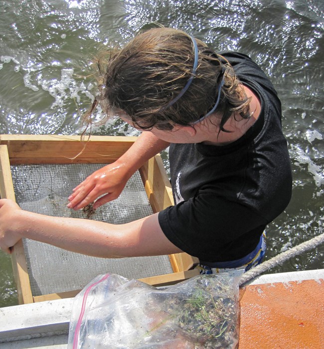
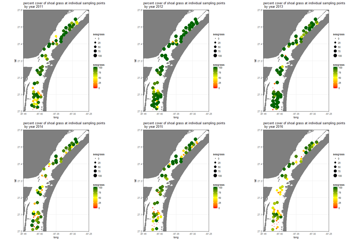
To monitor seagrass at Padre Island NS, a field crew measures percent cover of all seagrass species in 0.25 x .25 meter plots. The crew also collects data on water depth, salinity, turbidity, as well as other water quality measures. During the pilot phase, the network documented striking plot-to-plot variation in coverage of the dominant seagrass species, shoal grass, within the Laguna Madre, as well as extreme change in individual plots over time. The average across plots from 2011-2016 was 74%, 89%, 81%, 59%, 60%, and 53%, respectively. Given the pilot study's short duration, it is unclear whether this apparent decline is simply random fluctuation, cyclical change or a lasting loss in seagrass coverage for the park.
Changes in seagrass coverage during the project's pilot phase may be indirectly linked to a severe drought in mainland Texas in 2012 and 2013, although many more years of data are essential for unravelling any apparent trends.

Jane Carlson/NPS
Last updated: February 12, 2025
