Landscape Dynamics

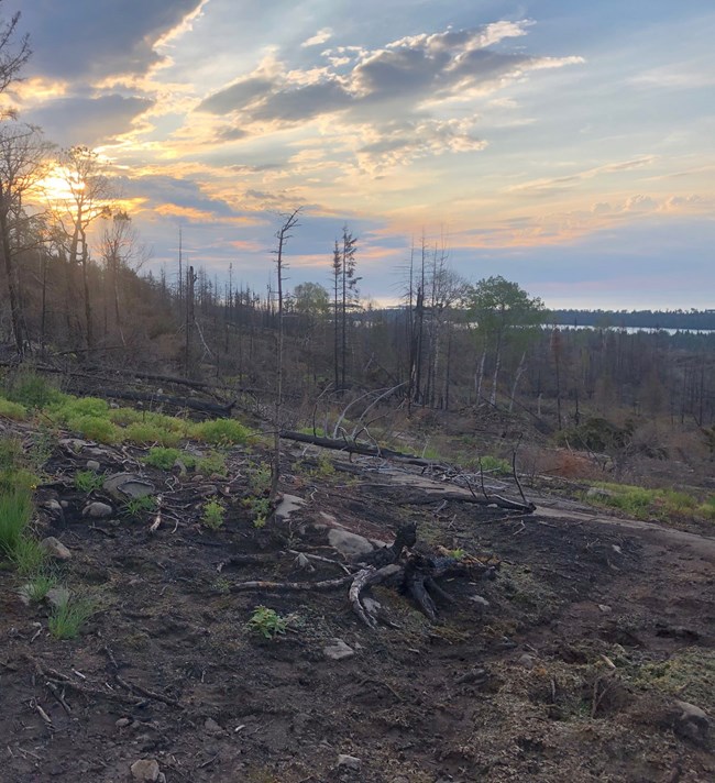
Sunrise above a burned-over hillside. Water is in the distance.
Wildfire is one of the more dramatic changes that occurs on park landscapes.

NPS

Fire. Wind storms. Development. Logging. Many activities—human and natural, within and outside park boundaries—affect the mosaic of a park’s landscape. Examining the pattern, arrangement, and interactions of landscape-scale changes can reveal effects to biological communities and ecosystem functions within parks.

Long-term Monitoring

  • Identify and measure landscape changes in and around the Great Lakes Network parks using moderate resolution satellite imagery and high resolution aerial photography.

  • Determine the type of change, the size of the affected area, and trends over time.

  • Complete analysis for each park every six years.

Our partner:

Kennedy Geospatial Lab, Oregon State University

Learn More

Resource briefs provide a one- or two-page overview of the latest findings and what they mean. Monitoring reports are in-depth technical reports that include data analyses and possibly management recommendations. Journal articles are peer-reviewed publications in professional journals.

Source: Data Store Saved Search 392. To search for additional information, visit the Data Store.

Source: Data Store Saved Search 410. To search for additional information, visit the Data Store.

Source: Data Store Saved Search 3525. To search for additional information, visit the Data Store.

Video Briefs

Data Sets

https://irma.nps.gov/DataStore/Reference/Profile/2217357
Use this link to explore the data used to delineate landscape disturbances in and around the Great Lakes Network parks. Run your own analyses and create your own summaries. To access the data within the GDB file, users will need to use a GIS software (ESRI, QGIS, GDAL) to view the data.

Monitoring Protocol

Protocol documents detail precisely how monitoring is carried out.

Kennedy, R., and others. 2010. Landsat-based monitoring of landscape dynamics in the national parks of the Great Lakes Inventory and Monitoring Network (version 1.0). Natural Resource Report. NPS/GLKN/NRR—2010/221. National Park Service. Fort Collins, Colorado.

Landsat-based standard operating procedures (SOPs) for the national parks of the Great Lakes Network.

Last updated: March 19, 2024