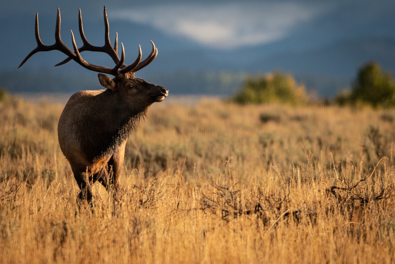
NPS/C. Adams The elk (Cervus elaphus) that summer within Grand Teton National Park migrate between the park and the National Elk Refuge located southeast of the park. These elk are managed as a part of the Jackson elk herd, the largest elk herd in North America. In 1950 when Congress expanded the boundaries of Grand Teton National Park, they included a provision to manage the elk population through an annual elk reduction program. Elk management is complex. The 2007 Bison and Elk Management Plan calls for 5,000 elk to winter on the National Elk Refuge and a summer herd segment in Grand Teton National Park of 1,600. The Wyoming Game & Fish Department has set a target objective of 11,000 elk for the Jackson herd that includes the park herd segment. Participants must have a park permit and a valid Wyoming elk hunting license to harvest elk during the elk reduction program. Participants interested in the program should contact Wyoming Game & Fish Department. When needed, the elk reduction program occurs in the park from early-November through early December. The dates vary slightly from year to year and from area to area. If you are recreating in the park during the reduction period in areas open to elk reduction, the park recommends that you wear bright colors to alert participants of your presence. 
Elk Reduction Area MapThe only area open to the Elk Reduction Program is Area 75, located mostly east of U.S. Highway 89. Antelope Flats from Antelope Flats Road North to Lost Creek Road is closed to the program. The Snake River Bottom between Deadmans Bar and Ditch Creek is closed to the program. See map of Area 75. Elk Reduction Area 79 is closed to the program this season, 2024, to limit harvest pressure on northern migratory and resident elk. This map is only for reference refer to Wyoming Game and FIsh regulations for legal hunt area descriptions.
|
An official website of the United States government
Here's how you know
Official websites use .gov
A
.gov website belongs to an official government
organization in the United States.
Secure .gov websites use HTTPS
A
lock (
) or https:// means you've safely connected to
the .gov website. Share sensitive information only on official,
secure websites.
