
NPS Photo Map out your tripFor a successful trip is the combination of a great trail and the right amount of hiking to your next campsite. Have a good trip in mind, but be flexible with your route. If you are flexible, it is unlikely you will walk away without a great itinerary.
NPS map Suggested RoutesTeton Crest Trail (TCT)The Teton Crest Trail is a 39-mile point to point route starting outside the park at Phillips Pass and ending at String Lake. This route climbs over 9000’ of elevation gain and is best enjoyed over multiple days. You can also start at the Granite Canyon trailhead and complete only hiking inside Grand Teton National Park or you can save approximately 4 miles and 2400’ of gain by taking the aerial tram from Teton Tillage. This route is very popular and the camping zones along this trail are full almost every night late July through early September.
Other RoutesMany loops can be made utilizing canyon trails and the Teton Crest Trail or Valley Trail. Loops are good for shorter trips.

NPS Photo Choosing a place to sleepPlanning your trip requires the route and a place to sleep. Once you've determined how far your group can hike in a day, select zones or inidvidual sites to stay for the night.
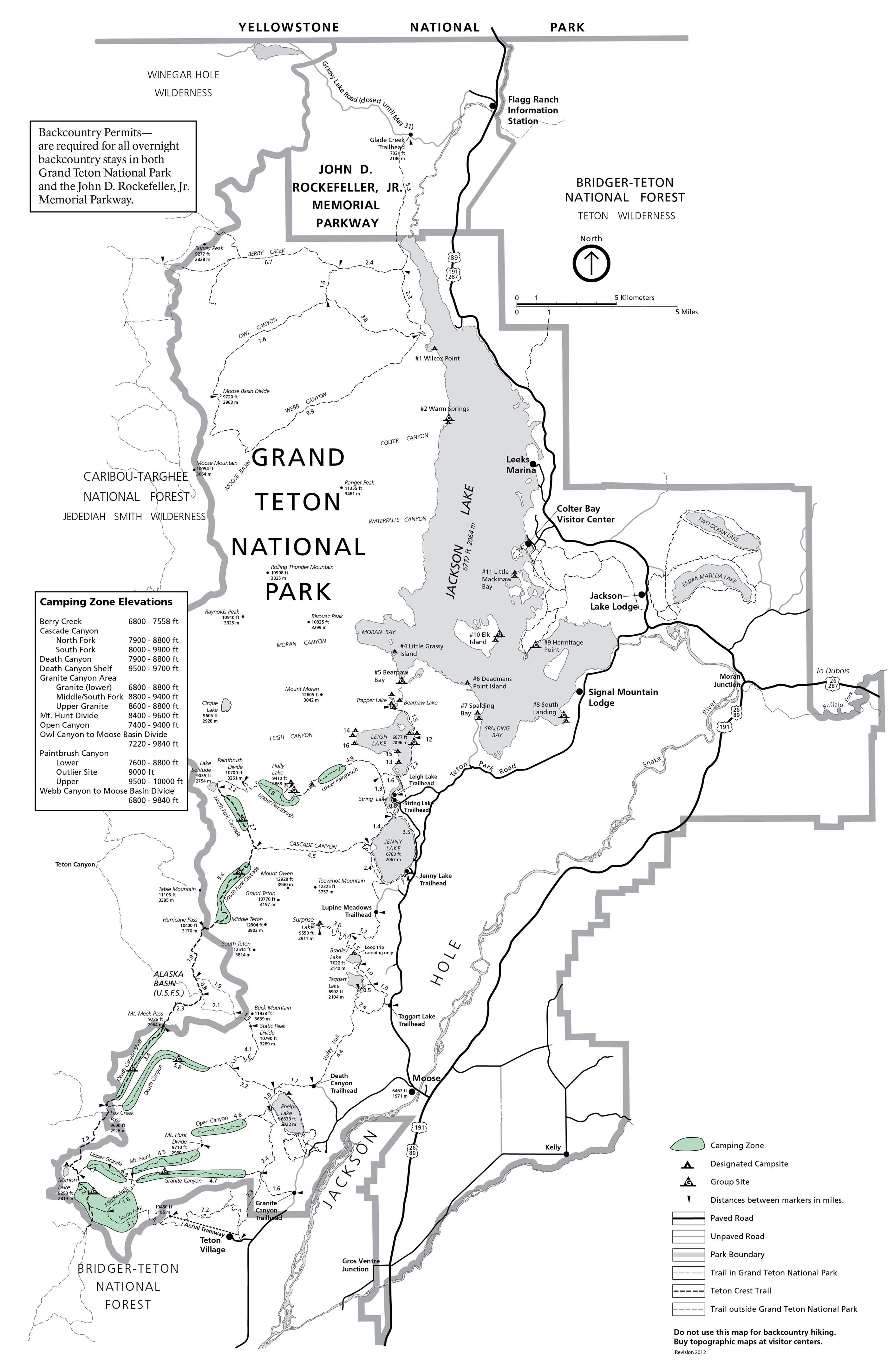
Map of Backcountry Camping Zones and SitesMountain Camping ZonesZones are large camping areas which vary in size, and are marked by a sign at the beginning and end of each zone. This area is where you will find campsites for the popular routes of the Teton Crest Trail (TCT) and the Paintbrush-Cascade Canyon Loop. Many trips on the Teton Crest Trail are completed by staying in the zones. Lakeshore Sites
Northern CanyonsThese remote areas (Berry Creek, Owl Canyon, Webb Canyon/Moose Basin, Hechtman Horse Camp) provide a unique Grand Teton experience, but are known for having high bear activity and trails are not easily accessed or navigated. Any backpacker in this area must be confident in their abilities.
Surrounding National Forest LandThe Teton Crest Trail intersects into Bridger-Teton National Forest at Teton Pass and Caribou-Targhee National Forest at Fox Creek Pass and Alaska Basin. Since it is Forest Service land, different regulations apply. More Backcountry Planning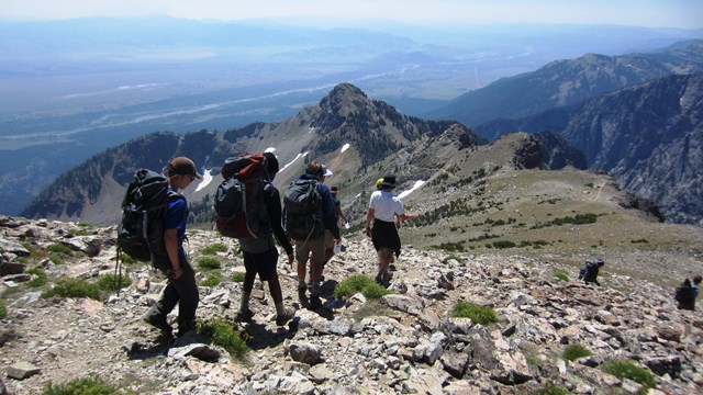
Know Before You Go
Learn when the snow melts and what the trail will be like. 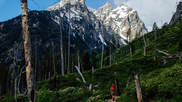
Hike in Grand Teton
Explore hikes throughout Grand Teton National Park. 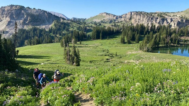
Backcountry Camping FAQs
Answers to frequently asked questions about planning your backcountry trip. 
Get Your Permit
Current pricing and tips for getting a permit 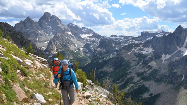
Backcountry Camping
Plan your backcountry adventure. 
Backcountry & Trail Conditions
Know what to expect before hitting the trailhead. |


Last updated: April 14, 2025