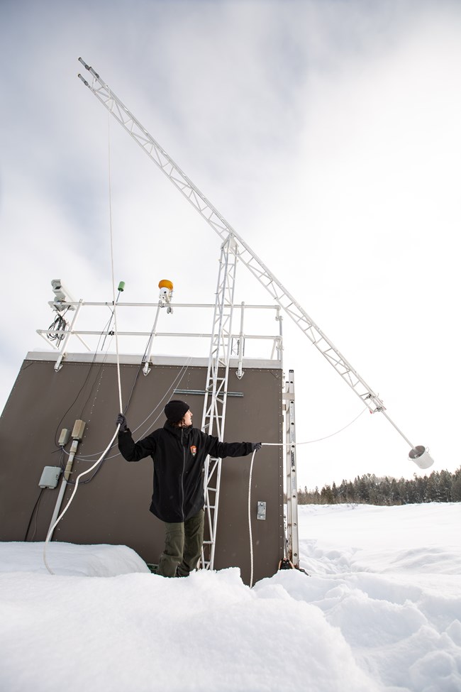
NPS/GRTE Grand Teton National Park experiences good air quality; however, both distant and local sources of air pollution affect the park. As a federally designated Class I airshed, Grand Teton is required to meet high standards for air quality. The park conducts monitoring to evaluate the potential for air pollution to affect park resources. 
NPS Photo/L. Watkins Monitoring Air QualityThe park operates an air quality monitoring station year round to track the deposition of these compounds in precipitation. Established in 2011, this station is part of the National Atmospheric Deposition Program, which measures precipitation chemistry at over 200 locations across the country. Real-time results from this station includes a webcam. Annual wet deposition of nitrogen measured at the Grand Teton station from 2012 through 2017 varied from 1.1 to 1.9 kilograms per hectare per year. The Grand Teton deposition monitor is located at an elevation of 6,900 feet; higher elevation areas of the park are likely experiencing higher levels of deposition as a result of higher annual precipitation.Some air pollutants while still in the atmosphere react in the presence of sunlight to form ozone. Ozone is harmful to humans as well as vegetation and is regulated under the Clean Air Act. Ozone monitoring in Grand Teton begin in 2012. The Environmental Protection Agency has established a standard for ozone that is based upon the three-year average of the fourth-highest eight-hour average concentration that occurs during the year. Data collected by the park ozone monitor from 2012 through 2018 indicate that the park meets the ozone standard. Due to the short span of time that the Grand Teton monitor has collected data, it is not possible to determine whether or not there is a trend. Air Quality and VisibilityVisitors come to Grand Teton to enjoy spectacular views of the Teton Range and the Jackson Hole valley. Sometimes the park’s scenic vistas are obscured by haze caused by fine particles in the air. Many of the same pollutants that ultimately fall out as nitrogen and sulfur deposition contribute to this haze and visibility impairment. Additionally, organic compounds, soot, and dust reduce visibility. In the region, average natural visual range is reduced from about 180 miles (without the effects of pollution) to about 120 miles because of pollution. The visual range is reduced to about 70 miles on the haziest days, and there are days when the mountains are not visible even from the Snake River. While natural fire is recognized for its ecological benefits, smoke from forest fires significantly contributes to particulate matter in the region. Periods of reduced visibility from forest fire smoke are typical in late summer and were a factor even prior to human occupation. |
Last updated: January 24, 2023
