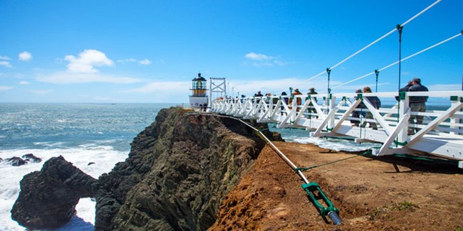
Trail OverviewDistance: 0.5 mi (0.8 km)Elevation Gain: -75 ft Time: 1 hour Trailhead: Point Bonita Slope: Avg 6% Max 27% Side Slope: Avg 3% Max 8% Width: Avg 87" Min 40" Trail Surface: Firm Special Notes: No Pets and No Bikes permitted anywhere along the trail. This is enforced by on-site NPS Park Rangers
Walk along the continent’s edge for views of Bonita Cove, San Francisco and the wild Pacific. The tunnel door stands open when the lighthouse is open for visitors, and leads to a world removed from the present time. The tunnel and lighthouse are open dependent on weather and staffing. For more information, please contact: (415) 331-1540. Trail Profile
Trail Map
Safety
ParkingThere is trailhead parking at Point Bonita including several ADA accessible spots. RestroomsAn accessible restroom can be found at the Point Bonita parking area. There are no restrooms at the Point Bonita Lighthouse. Trail EtiquettePlease remain on the established trail. Off-trail travel harms plants and causes erosion. Keep your food within arm's reach at all times and do not feed the wildlife. Carry out all trash and food waste (fruit peels, shells, etc.). |
Last updated: February 21, 2023
