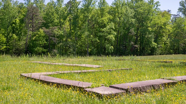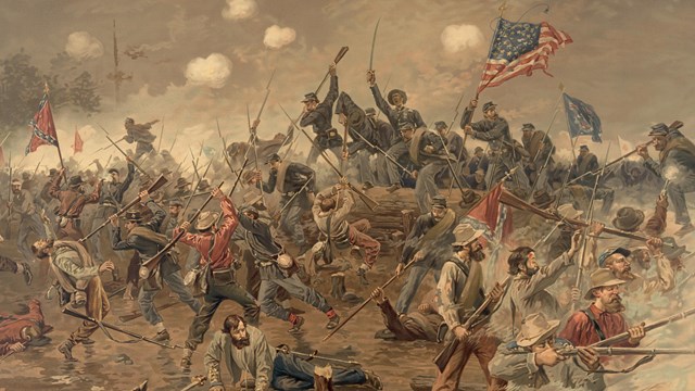
NPS Photo Visiting the Battlefield During the Battle of Spotsylvania Court House the US Army of the Potomc and Confederate Army of Northern Virginia were engaged in an exhausting series of attacks and counterattacks lasting nearly two weeks. The park's visitor services, driving route, and trails provide a variety of options for exploring and connecting with the history of the battle.
Check the Operating Hours & Seasons page for our current hours and program schedule. The Spotsylvania Driving Tour follows the numbered stops on the park map. Below is a summary of the driving tour. Follow the driving tour on the NPS App (best for following the tour onsite, available at the Apple Store and on Google Play, audio is currently in development for this tour)
Prepare for Your Visit
Spotsylvania Driving Tour
Explore the Spotsylvania Battlefield with this audio tour from home or during your visit. 
Battle of Spotsylvania Court House
For General U.S. Grant, there would be no turning back. What follows is a period of unprecedented, prolonged fighting. |
Last updated: October 19, 2023
