Maps

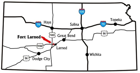
Fort Larned National Historic Site is located on KS Hwy 156, six miles west of Larned, Kansas.

Kansas Map 556
Kansas map with major highways near Fort Larned NHS.

_____________________________________________________________________________________________________

Click on the image below for an interactive tour map of the fort.

Aerial view of fort's sandstone buildings

NPS

This aerial view of the fort's historic sandstone buildings was taken 2014.

Last updated: January 14, 2022

Park footer

Contact Info

Mailing Address:

1767 KS Hwy 156
Larned, KS 67550

Phone:

620-285-6911
This phone is answered during regular business hours. After hours calls will be answered the next day. Please select a mailbox or leave a message on the main extension when the fort is closed.

Contact Us