|
Digital Archive of Historical Aerial Photographs
Thomas J. Smith III
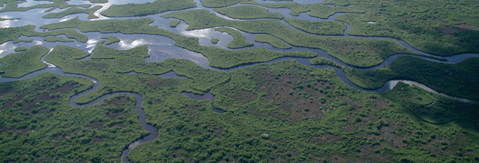
Aerial photographs of the Everglades landscape exist from as early as the mid- to late 1920s. Geographic information systems (GIS) technology was used to produce topographic sheets from these photographs for the coasts and shorelines of south Florida; the final map sets are called T-sheets. The T-sheets were digitally rectified to show the actual size and location of ponds, shorelines, waterways, and vegetative communities. Each map is visually detailed so that different vegetative communities can be distinguished. The T-sheets were created to compare against a timeline to study the long-term effects that water management has had on the pre-drainage landscape. FOR DOWNLOAD Final Report |

Last updated: February 16, 2018