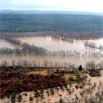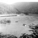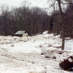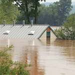
Though destructive of life and property, floods also irrigate fields and enrich the soil by depositing river silt. From the time of the most ancient civilizations, people who farm river valleys have respected and even revered this power of rivers to regenerate the cycle of life. The highest floods in recorded history of the valley are, in order: 
NPS Photo In August of 1955, Hurricanes Connie and Diane slammed into the Poconos. Broadhead Creek rose 30 feet in 15 minutes, and 37 campers, mostly mothers and children, perished in Analomink. In all, 78 lives were lost. This is the flood that endured in the memory of those planning or opposing a dam. The hurricane tragedies gave new drive to the longstanding proposal of damming the Delaware River to control its floods. Congress approved the takeover of thousands of acres of land, now set aside as this recreation area, to build a dam at Tocks Island and preserve buffer lands around the reservoir. 
Not all floods are summer hurricanes. In January of 1996 a series of winter weather changes first froze and jammed the Delaware River, and then thawed the ice jam and let the ice race downstream in chunks, some as large as pick-up trucks. At Smithfield, a dumpster eddied upstream 1/4 mile. The first major flood since the park was formed this winter storm caused widespread damage to park facilities, some of them fairly new. The destruction that would have occurred had 40 years of development taken place in the valley can only be imagined. 
In 2004, 2005, and 2006 three "100-year" floods hit the park. Archeological sites were inundated, streams leapt out of their banks to find new courses, roads were undercut, and some riverbank sites were scraped off the map. Each flood registered third highest in recorded valley history, but was then ousted from its position by the next flood. Photos of the damage now spread easily about through digital images on the web. The three floods, and their picture galleries, became known in the park as "Ivan the Terrible" (2004), "The Spring Flood" (2005), and, fittingly, "Strike Three" (2006). |
Last updated: November 25, 2025
