News Release
NPS
|
Subscribe
|
Contact: Nichole Andler, 760-786-3279
DEATH VALLEY, Calif. – A storm on November 15, 2025, produced 0.6 inches of rain at Furnace Creek in Death Valley National Park. At just over a half of an inch, this is more than a quarter of the annual rainfall for Death Valley.
Due to the park's steep, rocky terrain, water runs off quickly, creating fast-moving flows of mud, rock, and debris. These destructive floods have covered roads and eroded road shoulders, making travel hazardous. For example, North Highway and Badwater Road reopened after late-summer flooding repairs were completed for only two days before being closed again by damage from the November 15th storm.
The following roads are closed due to storm damage:
- Badwater Road, the entire road
- North Highway
- West Side Road
- Twenty Mule Team Canyon
- Charcoal Kilns Road
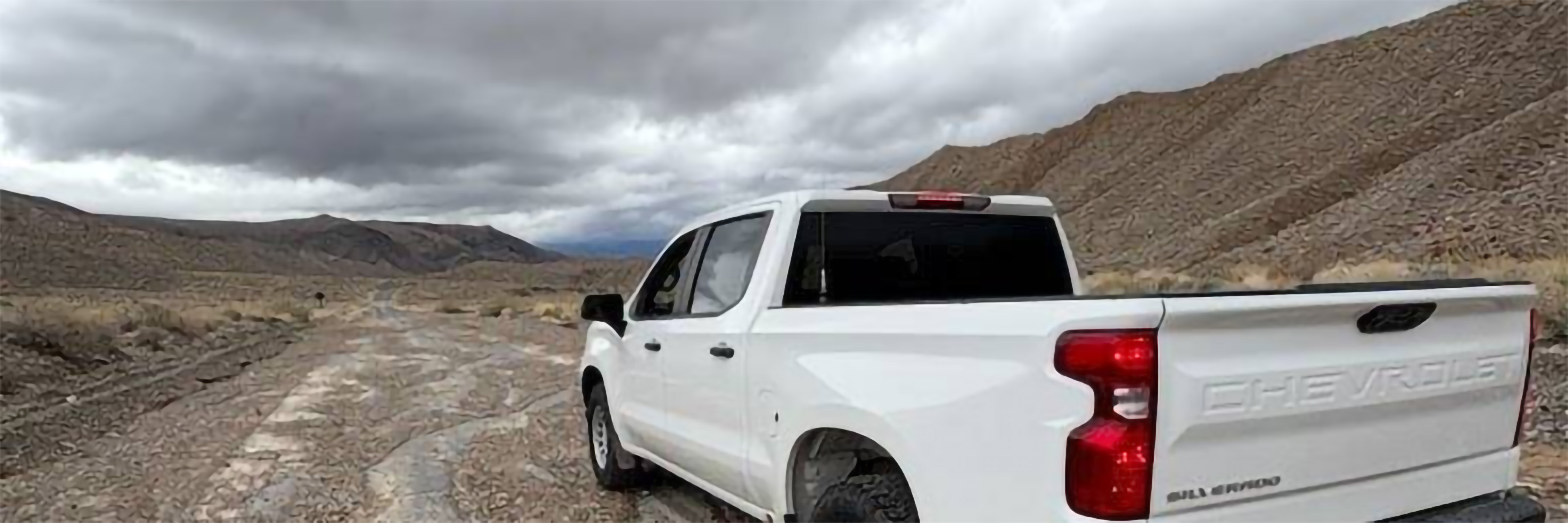
Many key travel routes remain open, including CA-190 through the entire park, CA 178 Trona Wildrose Road, Daylight Pass, and Dantes View. Upper Wildrose and the Road to Cottonwood-Marble Canyons are in rough condition require 4-wheel drive. Unpaved roads may be impassable due to mud flows or erosion. Proceed with caution and be prepared to self-rescue.
Park staff are actively assessing conditions across the park, and additional closures may be necessary as evaluations continue.
Visitors are urged to exercise caution and check current conditions before traveling. The most up-to-date information on road status and park access can be found at nps.gov/deva.
-www.nps.gov/deva-
Death Valley National Park is the homeland of the Timbisha Shoshone and preserves natural resources, cultural resources, exceptional wilderness, scenery, and learning experiences within the nation’s largest conserved desert landscape and some of the most extreme climate and topographic conditions on the planet. Learn more at www.nps.gov/deva.
Last updated: December 10, 2025