Who We Are: Mapping History for the Future
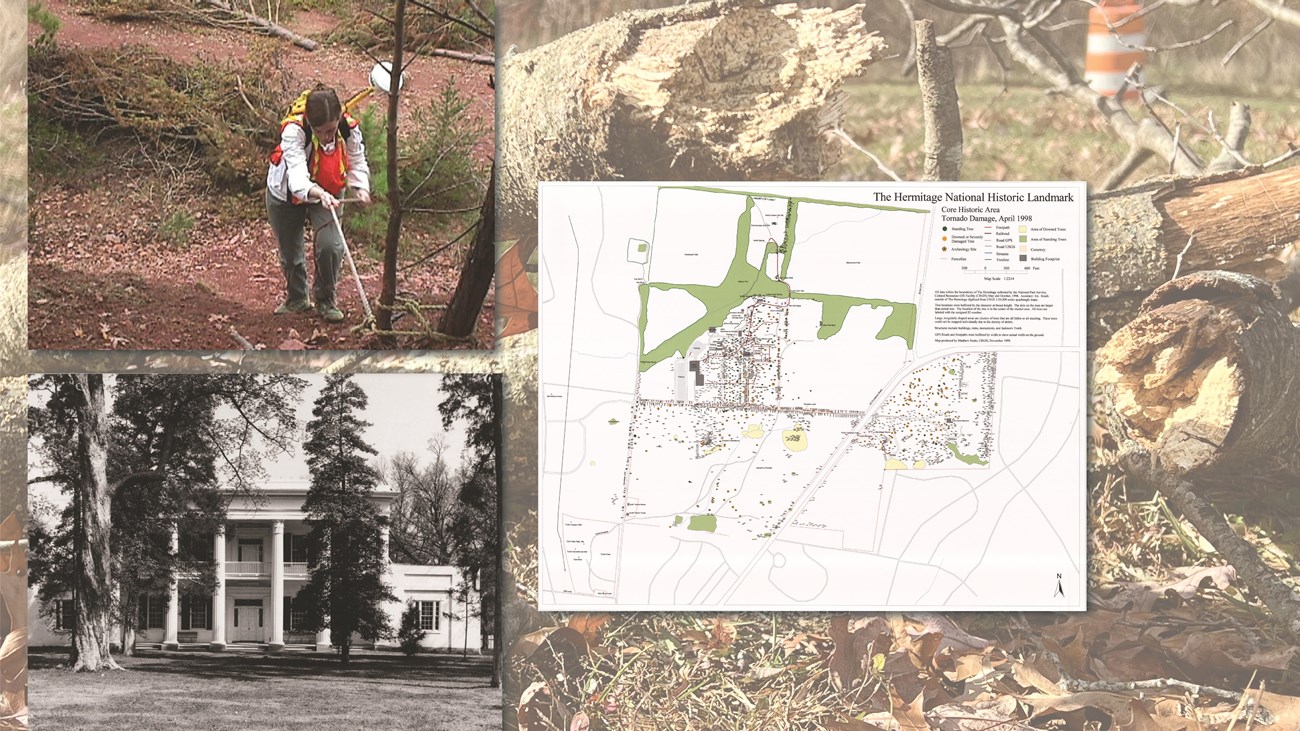
We are the only National Park Service (NPS) Program dedicated to developing and fostering the application of Geographic Information Systems (GIS) and global positioning systems (GPS) software and technology to our work with cultural resources. We record, map, manage, and analyze cultural resources and historic places through the guise of (GIS) technology to capture the connections between history and place. Our purpose is to share the knowledge of geospatial technological capabilities to promote accessibility of historic resources and place-base knowledge on a spatial scale for heritage and cultural via GIS tools.
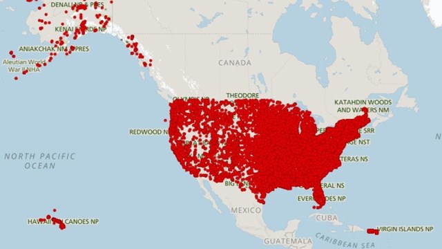
We are the National Geospatial Data Assets’ (NGDA) Cultural Resources Theme Lead for the Cultural Resources Subcommittee of the Federal Geospatial Data Committee (FGDC), and remain an active member on the Geospatial Data Committee. We offer training in GIS and GPS fieldschools, perform surveys for cultural and historic sites, and develop maps and web applications for and with our partners and clients. We build geospatial inventory database systems, regularly manage a national repository for cultural resources (the National CR GIS Dataset), and regularly update the Geospatial Data Transfer Standards (a Federally mandated initiative).


