
CRGIS NPS
GPS and GIS Training
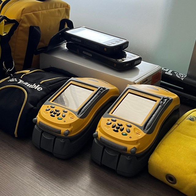
Cultural Resources GIS (CRGIS) staff have been teaching focused courses in GIS and GPS since 1995. We educate hundreds of students and professionals with a training focus on applying GIS to cultural resources management across the nation. Trainings may take place at National Park units, State Historic Preservation Offices, university campuses, local preservation organizations, and our home office in Washington, D.C.Our training includes but is not limited to:- GPS instruction training.
- Data collection and data processing courses.
- ArcGIS Pro, ArcGIS Online, and/or other Esri based mobile app instruction.
- Data, inventory, and/or resource management.
- Disaster preparedness and resiliency training.
Survey, Fieldwork, and Web Mapping Services
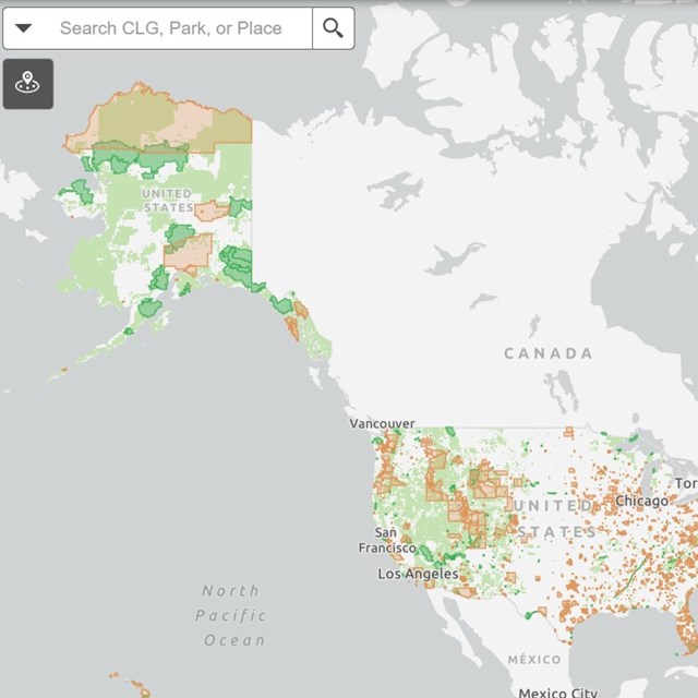
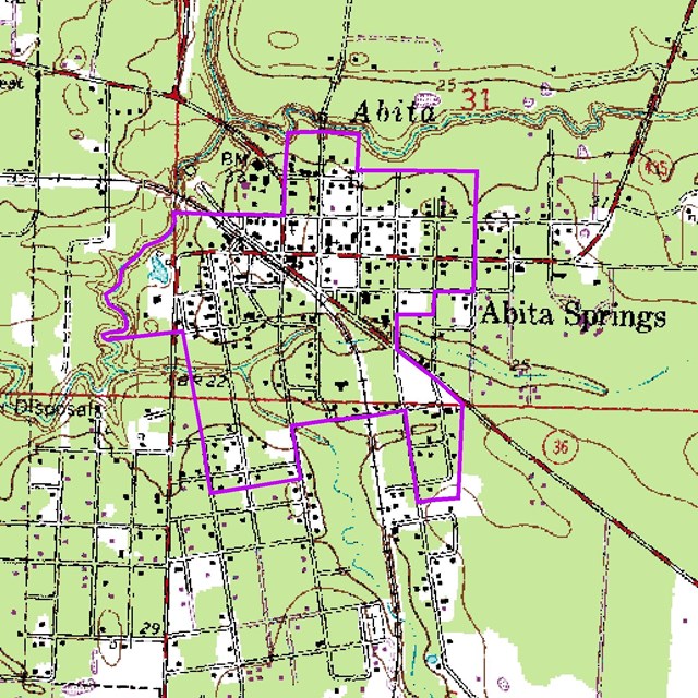
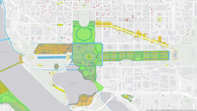
We offer a range of services from GPS field survey and mapping of historic sites to web application development and cartographic creation. As the demand for more data interactive interfaces grows, the need for place-based applications become invaluable. CRGIS offers services to collect, develop, create, and/or build custom databases and web mapping applications where information may be shared and explored by and for the public or internal entities.Looking for a Map?
Looking to turn your data into an interactive platform? Check out our training opportunities. Not sure you have the necessary GIS experience? Find submit a contact request for information on CRGIS developing a web application or map that fits your data and audience needs.Check out examples of our work on the StoryMaps, Web Apps, and CRGIS Projects page.
-
 CRGIS Training
Learn more about CRGIS's GIS training here.
-
 Web Mapping Applications and Services
View selected online web mapping applications developed by CRGIS, and learn more about our services.
-
 GIS for Disaster
Learn more about using GIS for disaster preparedness and response.
CR GIS Enterprise Dataset Training
(For internal users) Learn more about accessing the National Cultural Resources GIS Dataset.
FGDC, GDA, and Cultural Resources Theme
Learn more about the Federal Geospatial Data Committee, Geospatial Data Act, and the NGDA Cultural Resources Theme.
Last updated: March 29, 2024