Last updated: March 29, 2024
Article
FGDC, GDA, and Cultural Resources Theme

National Park Service
What is the FGDC?
Cultural Resources GIS (CRGIS) works with the Federal Geographic Data Committee as a member and Theme Lead of the Cultural Resources Subcommittee. The subcommittee is charged with the identification, prioritization, implementation, coordination, and oversight of strategies and tasks required to support the national cultural resource geospatial data theme and to coordinate those efforts across Federal geospatial programs. More information is available on their website.
Geospatial Data Act (GDA)
Signed into law in 2018, the Geospatial Data Act (GDA) facilitates geospatial data collection, management, sharing, and conservancy with federal agency compliance requirements. This data act promotes the dissemination and accessibility of public geospatial data on a national scale. The GDA is coded under Title 43 of the Public Lands Chapter 46. Learn more about GDA here.
A Case Study for Creating the Standards
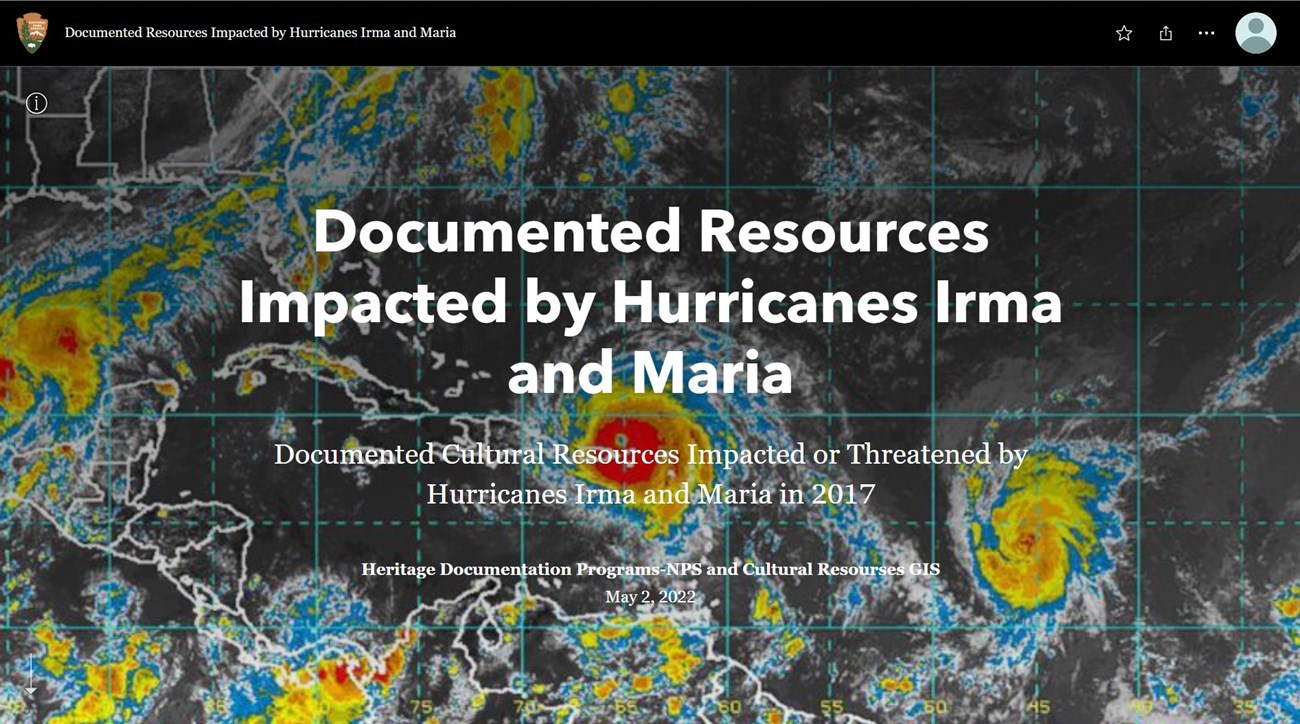
Hurricane season of 2017 was devastating for cultural resources on the Southeastern Coast of the U.S. and several U.S. Territories. Hurricanes Harvey, Irma, and Maria caused copious amounts of damage to cultural resources and further threatened the integrity of those that survived. The National Park Service’s Heritage Documentation Program (HDP)- which is comprised of the Historic American Buildings Survey (HABS), the Historic American Engineering Record (HAER), and the Historic American Landscapes Survey (HALS)- documented resources for the Impacts of Hurricane Irma and Maria. These efforts may be found in the StoryMap below.
