Last updated: September 30, 2024
Article
National Cultural Resources GIS Dataset
Return to CRGIS Home
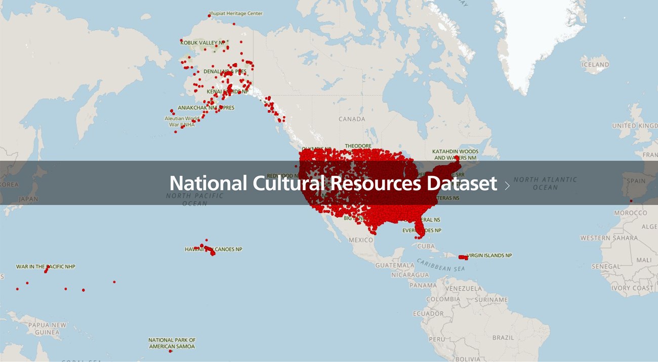
Cultural Resources GIS Facility (CRGIS) has developed an Enterprise-level GIS Database for NPS cultural resources, in coordination with National Park Service (NPS) partners and programs, as well as agreements with other government agencies. This Enterprise dataset is known as the National Cultural Resources GIS Dataset (CRGIS Dataset) and complies with the NPS Cultural Resources Data Transfer Standards with access restrictions to sensitive inventory records. Data within the National CR GIS Dataset include National Register of Historic Places spatial information, legacy Cultural Landscapes Inventory data, NPS Tax Incentive- and Grant-related data, and Historic Documentation Program (HDP) data. Technical NPS GIS users may access this database via ArcGIS Pro, map services, or other GIS software.

Cultural Resources GIS Facility, NPS
