News Release

|
Subscribe
|
Contact: Hollie Lynch, 301-491-0149
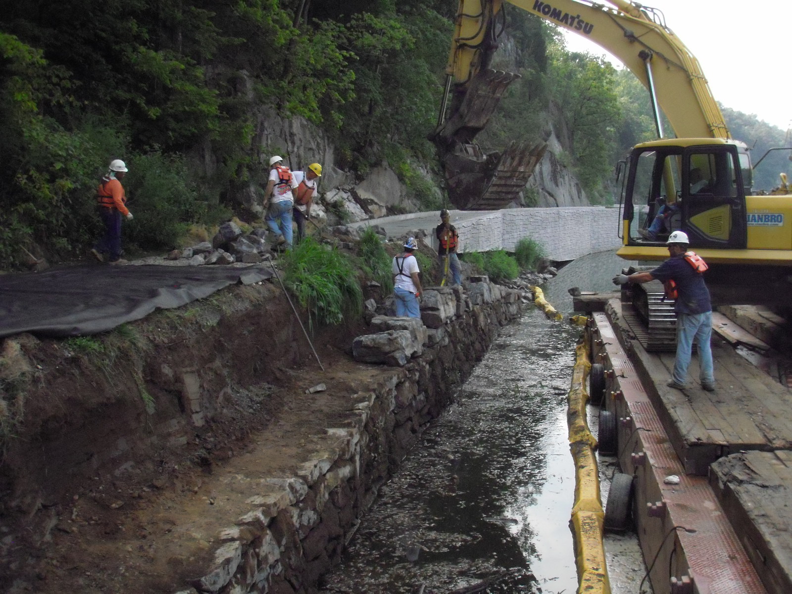
HAGERSTOWN, Md. – The National Park Service (NPS) has approved a plan to stabilize a historic stone wall and raise parts of the Chesapeake and Ohio Canal (C&O Canal) towpath, move it farther from the Potomac River and resurface it. The improvements will be made between McMahon’s Mill (milepost 88.1) and Lock 42 (milepost 89.0) in Washington County, Md.
Right now, high water makes sections of the towpath in this area impassable many times each year, requiring a 3-mile detour for hikers and bikers on narrow, winding county roads. Currently, the towpath is impassable to vehicles, which prevents emergency vehicles from reaching injured visitors or employees. A similar project was completed downstream of McMahon’s Mill through Big Slackwater in 2012.
The project, as approved in this plan, will resurface the length of the towpath from McMahon’s Mill to Lock 42, stabilize and reconstruct portions of the towpath’s stone wall, move short sections of the towpath farther inland, widen areas to allow access for emergency and maintenance vehicles and raise the elevation of some areas of the towpath. This will improve safety and reduce the impacts of high water events to the towpath historic features of the park and park visitors.
A Finding of No Significant Impact (FONSI) was signed on April 15, 2019 by Acting National Capital Regional Director Lisa Mendelson-Ielmini. A FONSI is a decision document following the completion of an environmental assessment that selects how the NPS will implement a project and outlines conservation measures that the NPS will take to avoid, minimize or mitigate impacts when the project is implemented. This follows the guidelines of the National Environmental Policy Act and the National Historic Preservation Act.
Copies of the environmental assessment (EA) and FONSI can be found on the NPS Planning, Environment and Public Comment (PEPC) website at: https://parkplanning.nps.gov/
Last updated: April 15, 2019
