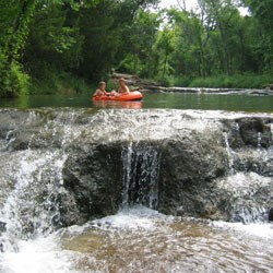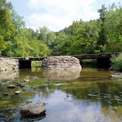
NPS/Chickasaw NRA Travertine CreekTravertine Creek runs from its main water sources of Antelope and Buffalo Springs into Rock Creek two miles away. Since its only source of water is the springs, periods of prolonged drought also result in diminished stream flow, and can sometime run dry. Such dry periods are infrequent. The longest dry period lasted less than three years. Wet periods tend to be more frequent and have lasted over twenty years at a time. Most of the time the creek is the focal point of the the Platt Historic District, providing many locations for swimming, wading, or picnicking. A unique feature of this stream is its ability to form travertine rock, from which the stream gets its name. The water coming out of the springs and flowing down the stream contains dissolved calcium carbonate. As the spring water is exposured to air, especially in areas where it flows over rocks and falls, some of the minerals will start to precipitate onto those surfaces. Large accumulations of these minerals form travertine rock. Plant leaves and branches along the stream may be covered with a film of travertine dust from wind-blown spray. Small travertine terraces may be observed along the length of the creek, and travertine is also forming on the man-made waterfalls in the creek, including Little Niagara, Bear, Garfield, and Pather Falls. 
NPS/Chickasaw NRA Rock CreekRock Creek is a large year-round stream which enters the park from the city of Sulphur and flows westward and southward through the remainder of the park. Along its course, Rock Creek is replenished by several creeks and springs, and by storm runoff. This is the largest of the streams entering the park, with a total drainage area of 170 square miles. Because of its size and permanence, this stream provides excellent habitat for fish and other aquatic species. Other Noteworthy Creeks
|
Last updated: March 20, 2022
