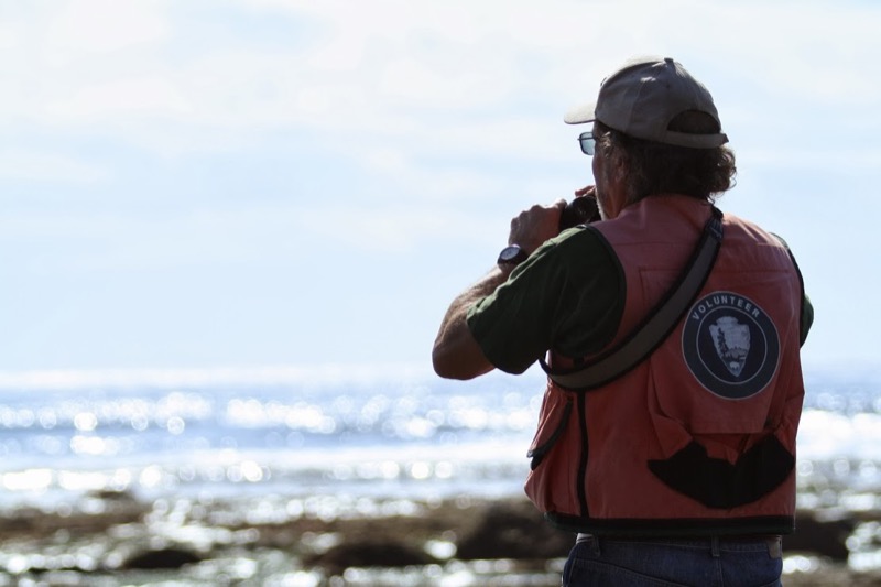
 NPS Photo - A surveyor searching for shorebirds along the rocky intertidal
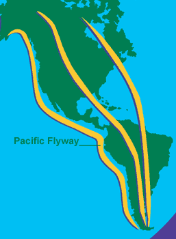
It's that time of year again: time for the great northern spring migration of hundreds of bird species! Did you know that San Diego lies on a major migratory pathway called the Pacific Flyway? This bird "super highway" stems from the tip of South America and travels up the west coast all the way to Alaska; it is estimated that at least a billion birds travel the Pacific Flyway every year! Unsurprisingly, this pathway is one of the primary reasons that San Diego is a biodiversity hotspot for birds (the other factor being the plethora of landscape varieties to be found in the county). Some of these migratory birds stop here at Cabrillo National Monument (CNM) to eat. Among our rocky intertidal zone, shorebirds such as Whimbrels, Wandering Tattlers, American Oystercatchers, Marbled Godwits, Ruddy and Black Turnstones, and Spotted and Western Sandpipers can be seen from late-fall through spring, so get your binoculars out and keep your eyes peeled!

Prince William Network Photo - Map of the great Pacific Flyway migratory route from the tip of South America to Alaska
CNM also sports many year-round residents, such as the massive California Brown Pelican (they can have up to a 7.5' wingspan), the "stalk-and-strike" birds such as egrets and Great Blue Herons, various species of gulls, terns, and cormorants, and even raptors such as Ospreys and Peregrine Falcons (the fastest animal on Earth).
But how do we know who's hanging out where and for how long? Since 1992 CNM staff and volunteers have conducted surveys to keep track of species abundance and locality, which is important information for understanding these species, the ecosystems they inhabit and affect, and the broader picture of biodiversity on the planet (including phenomena like climate change). In other words, survey data is important for management and conservation, a vital part of the National Park Service's mission.
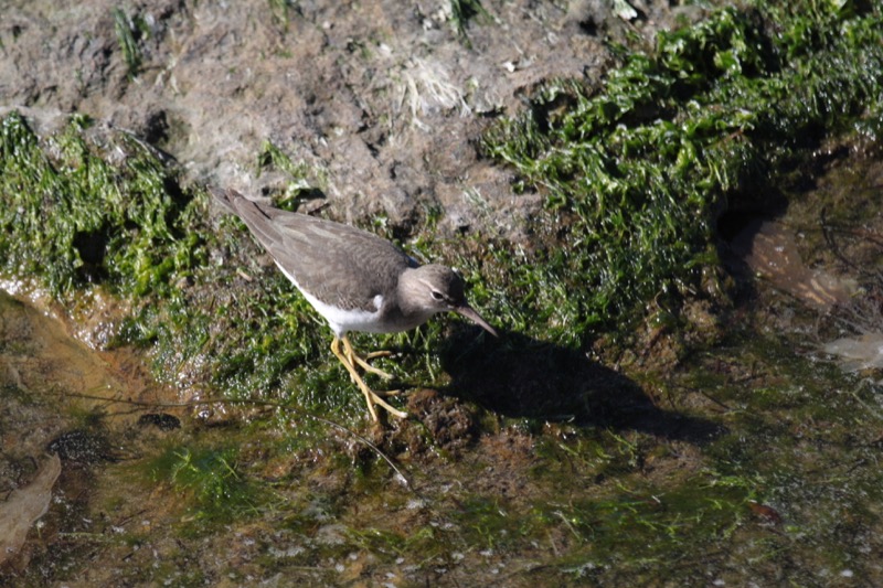
 NPS Photo (courtesy of Kaye London, 2013) - A Wandering Tattler (Tringa incana) foraging at a tide pool
Shorebird surveys are held from October through April during 50 randomly selected negative low tides. To collect survey data, the rocky intertidal region is compartmentalized into 3 zones with a transect line. Zone 1 starts to the right of the tide pool path, and includes much of the area that visitors tide pool in. Zone 2 is to the left of Zone 1, with Zone 3 the farthest out on the peninsula - so far, in fact, that visitors are not permitted in that region. Beginning in Zone 1, the surveyors spend fifteen minutes observing which species of birds are present. A brief, set amount of time is chosen to reduce the chances that each highly-mobile bird is counted more than once. After a count has been completed in all three zones, abiotic (non-living) data is collected and recorded, such as wind direction, wind speed, temperature, and wave height. All of these factors can affect whether birds are present and must be recorded during surveys as the more robust the information documented, the clearer the bigger picture will be. Scientists use the data collected to track species diversity over time, essential knowledge for understanding CNM in order to protect it for future generations.
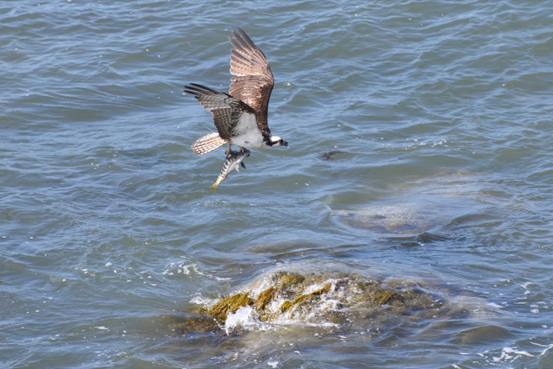
 NPS Photo (courtesy of Don Endicott) - An Osprey (Pandion haliaetus) transporting a recent fish-kill
 References
The Pacific Flyway Information & Route:
http://www.audubon.org/pacific-flyway
https://migration.pwnet.org/resource/your_flyway_pacific.php
Spring Migration Information:
http://ca.audubon.org/news/viewing-spring-migration-california
Information About Cabrillo's Shorebirds:
https://www.nps.gov/cabr/planyourvisit/upload/Shorebird-brochure.pdf
Brown Pelican Facts:
http://ca.audubon.org/news/viewing-spring-migration-california
