News Release
You are viewing ARCHIVED content published online before January 20, 2025.
Please note that this content is NOT UPDATED, and links may not work. For current information,
visit https://www.nps.gov/aboutus/news/index.htm.

Fondriest/NPS Photo
|
Subscribe
|
Contact: Casey Johannsen, 870-449-4311
Improvements are coming to make parts of River View Trail more accessible
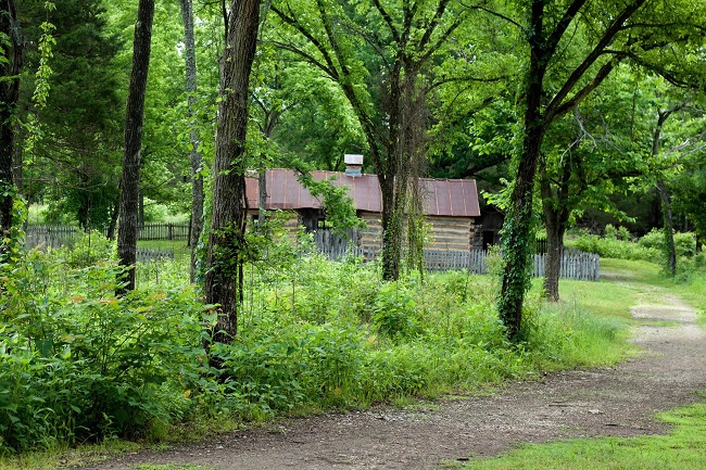
HARRISON, ARK – Buffalo National River is continuing to improve visitor experiences in the Tyler Bend area. In 2018 the National Park Service developed a trails plan for the Tyler Bend Area of Buffalo National River that explored new opportunities and uses on the trails. The trail system at Tyler Bend currently consists of 6.1 miles of hiking trails including the River View Trail (0.9 mi), Collier Homestead/River View Trail (0.5 mi), Return Trail (0.4 mi), Spring Hollow Trail (0.9 mi), Buck Ridge Trail (0.8 mi), Rock Wall Trail (0.9 mi) and Buffalo River Trail (2.2 mi). The trails plan included three alternatives:
HARRISON, ARK – Buffalo National River is continuing to improve visitor experiences in the Tyler Bend area. In 2018 the National Park Service developed a trails plan for the Tyler Bend Area of Buffalo National River that explored new opportunities and uses on the trails. The trail system at Tyler Bend currently consists of 6.1 miles of hiking trails including the River View Trail (0.9 mi), Collier Homestead/River View Trail (0.5 mi), Return Trail (0.4 mi), Spring Hollow Trail (0.9 mi), Buck Ridge Trail (0.8 mi), Rock Wall Trail (0.9 mi) and Buffalo River Trail (2.2 mi). The trails plan included three alternatives:
● Alternative A - No significant modifications to the trails or trail surfaces.
● Alternative B - Some trails would be modified to improve visitor safety and enhance trail sustainability.
● Alternative C - Some trails would be modified to make the existing hiking trails multi-use for mountain bike use and hiking, while ensuring visitor safety and enhancing trail sustainability.
Based on careful examination of the public comment collected over a 30-day period and during a public meeting, and other decision factors in the environmental assessment, the park’s preferred alternative is Alternative B. This option includes improvements to the trail system through increased accessibility, improved signage, and other trail condition improvements. Specific trail improvements will include the modification of a 0.5 mile section of the River View Trail to be wheelchair accessible and upgrades to trail tread and slope of the trail to ensure that the trails drain and are less susceptible to erosion.
Mountain biking continues to be allowed on public roads within the park, including a section of the Ozark Grinder trail in the Tyler Bend area. There are also numerous established bike trails within an hour drive of the park. Mountain bikers can find trails on public lands at the following locations:
● Bulls Shoals State Park
● The Ozark-St. Francis National Forests: The Syllamo in Mountain View, Arkansas and the Upper Buffalo Trail near Jasper, Arkansas
● Northwest Arkansas near Bentonville and Eureka Springs
Recently the park opened up three trails to leashed dogs at Tyler Bend. Park visitors may now walk their dogs on the Spring Hollow Trail (0.9 mi), Buck Ridge Trail (0.8 mi) and Rock Wall Trail (0.9 mi).
You can find the Final Tyler Bend Trails Plan Environmental Assessment and Finding of No Significant Impact at http://parkplanning.nps.
For more information on Buffalo National River hiking trails or mountain biking trails in northern Arkansas please visit www.nps.gov/buff.
Last updated: November 7, 2020
