NPS Photo / DW Ivans 1,754 acres Opportunities

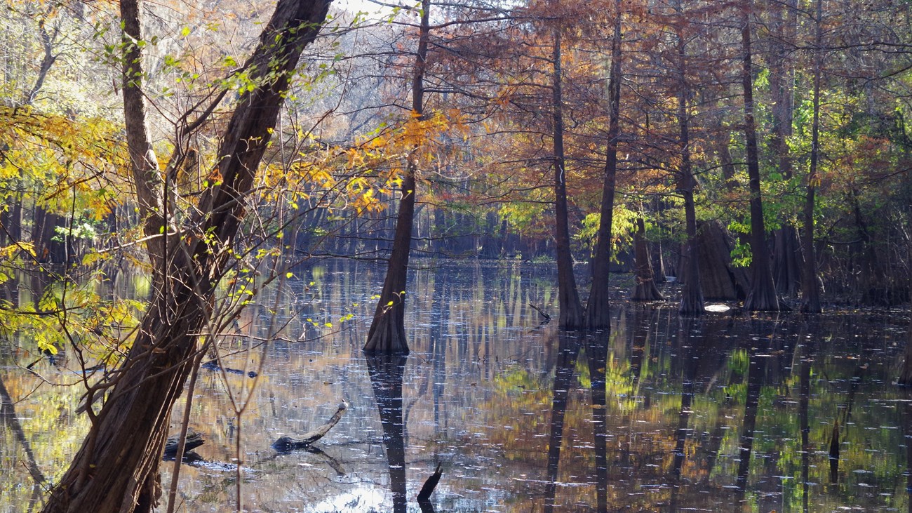
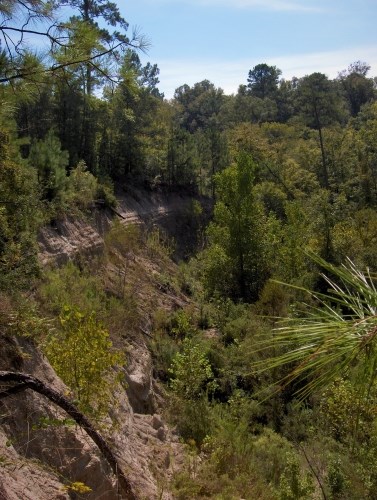
NPS Photo OverviewThe Canyonlands Unit lies in the northeast corner of the Big Thicket. Scenic bluffs above the Neches River floodplain create drastic elevation changes unseen in other parts of the region. Hikers looking to explore this unit will encounter forested slopes, cypress swamps, and small gulches teeming with plant life. EcologyElevation changes from the bluffs to the floodplain create the preferred environment for the beech, magnolia, and loblolly trees that encompass the slope forest plant community. Below the bluffs, seeps and springs feed perpetually flooded cypress sloughs and bottomland forest. TrailsThere are no established trails in the Canyonlands Unit. Hikers exploring off-trail should be self-reliant and carry a GPS-enabled device for navigation. Because of the remoteness of this unit, the NPS recommends that hikers tell a friend or family member where they’re going and when they plan to return. LocationThe Canyonlands Unit is north of Spurger and south of B.A. Steinhagen Lake. From Spurger, head north on FM 92 for 2 miles and turn right (east) on County Road 4415. An old logging road off of CR 4415 heads east into the unit. Use the GPS coordinates below to reach the recommended starting point (there is no park signage on CR 4415). 
NPS Photo / Scott Sharaga 
NPS Photo / Scott Sharaga |
Last updated: December 14, 2024
