An official website of the United States government
Here's how you know
Official websites use .gov A
.gov website belongs to an official government
organization in the United States.
Secure .gov websites use HTTPS A
lock (
) or https:// means you've safely connected to
the .gov website. Share sensitive information only on official,
secure websites.
Workers and mule-drawn wagon beneath an oil derrick
Lamar University Archives and Special Collections
Extracting Fuels from the Big Thicket
Early Use and Exploration
Oil and gas production in the Big Thicket region dates back to the late 1800s, though the geological formations that lend themselves to the presence of oil and gas created interest and economies in the region long before that. In Sour Lake, Texas, south of the preserve’s boundary and in an area that was historically the Thicket, there are a series of small lakes and streams once heralded for medicinal properties. Native tribes including the Tonkawas, Lipans and Wichilas were known to use this area to meet, using the waters that were laced with sulphur for medicinal purposes. They and early European travelers through the area would use the petroleum deposits as pitch or to lubricate their wagon axles. By 1850, the waters of the lake and nearby springs turned the town into a health resort, where travelers would come to visit for the healing powers of the water and receive mud and mineral baths. Waters from the lake would be bottled up and sold in Houston and Galveston.
The source of the petroleum deposits and sulfuric water and the bubbling springs is a salt dome beneath the land. Salt domes are pillars of salt that have risen through thousands of feet of mineral deposits. The land can occasionally be pushed into small mounds based on the presence of such a dome beneath the surface. These domes are generally covered in cap rock structures made up of sand, sandy clay or limestone. Significant to the oil industry, the cap rock typically houses oil and gas reservoirs. These salt domes lay throughout not only the Big Thicket region, but along the coast and out into the ocean. Spindletop would mark the first time that such a geological feature produced an oil boom.
The Lucas Gusher at Spindletop, just south of Beaumont, Texas in January 1901 would usher forth an eight-year oil boom in Southeast Texas. Following the success of the gusher that sat astride a salt dome, eager entrepreneurs began to search the nearby landscape for telltale signs of this feature to exploit its riches further. This led them into the Thicket and resulted in oil booms at Sour Lake, Saratoga, and Batson. However, oil exploration had begun in these regions long before that. In 1866, Peter Willis would be the first to attempt to drill for oil in Sour Lake and though he found a small pocket of oil, it generated very little excitement from others. In 1895, the Savage brothers, who had been involved in oil exploration back east, drilled for oil in both Sour Lake and Saratoga, but met minimal success. Like Sour Lake, Saratoga had their own health springs because of the salt dome’s influence on their water. Prior to the Savage brothers, there was an attempt to drill for oil in 1865 in Saratoga after a man found petroleum on his pigs, but this attempt failed. Unlike Sour Lake and Saratoga, Batson did not have a significant history of oil exploration prior to the boom.
Workers inside of an oil derrick
Lamar University Archives and Special Collections
The Oil Boom
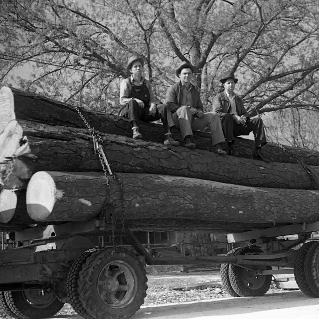
Despite all the instances of early oil exploration, the results were underwhelming. Part of the little success seen can, in part, be attributed to the use of outdated equipment. Prior to 1900, oil seekers in the Thicket would use cable rigs (that would repeatedly hurdle a drill bit into the ground with the help of steam power) which had been obsolete back east since 1880. In 1895, in Navarro, Texas, the Baker brothers first started using their rotary method for oil drilling (which they had developed a decade earlier to drill small wells on the Great Plains). In 1900, Captain Lucas adopted this method at Spindletop which would usher in the oil boom less than a year later. Unlike the cable rig, which needed to be stopped occasionally to replace the drill bit and clear out debris, the rotary rig used a hollow bit and would flush out debris using fluids while the drill bit kept going. This process allowed the bit to grind away at the rock rather than be repeatedly thrown at it. The cable rig struggled to reach depths of 300 feet while the rotary rig was able to go as far as 2,000 to 3,000 feet. This rig seems to have made all the difference for oil exploration in the Big Thicket.
Thusly, oil became the second major industry to sweep through the Big Thicket region, overtaking lumber. Unlike lumber, though, the boomtowns were much shorter lived. Entrepreneurs began drifting from Spindletop and Beaumont as early as 1902, leading them into the Thicket to Sour Lake. By May 1903, shortly after numerous derricks struck success, the oil rush in Sour Lake was officially launched. But by 1905, production was already down, and the entrepreneurs began to drift yet again. As Sour Lake’s production fell, Saratoga’s rose, and so drillers drifted 12 miles north to the latest boom town. Though by 1906, Saratoga, too had seen the end of its boom. Batson saw its boom only shortly after Sour Lake and Saratoga and reached its peak production in 1904. Their boom was over just four years later in 1908. This boom and bust routine would continue for the oil companies moving on to Humble next, but Batson would be the last boom in the Big Thicket.
Gushing oil derrick in Saratoga. Original photographer unknown.
NPS
Ecological Effects
In just eight years, the oil boom was over in the Thicket, but the ecological effects of the gushers now gone bust are much longer lived. As entrepreneurs came into an area, trees would be quickly cleared and used for fuel or to build the derricks. Gushers would often spurt for hours, the oil saturating the land and flowing into streams. Even after the gusher was brought under control, seepage was still a regular part of oil operations in the region. This was largely due to the crude storage methods. Not expecting the success that they found, companies failed to build adequate storage and resorted to using makeshift wooden crates or earthen pits. Pine Island Bayou and Little Pine Island Bayou were frequently polluted with oil and would sometimes even ignite, causing the water to burn and fires that spread to the forest. These problems were eventually mitigated with the use of steel barrels and the construction of pipelines, though the potential for oil spills remained.
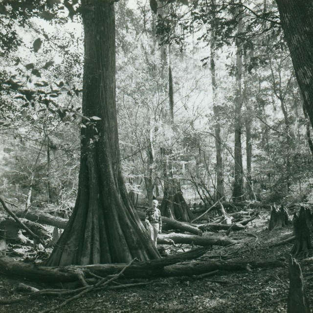
Worse than the oil seepage, though, was the saltwater runoff. It isn’t called a “salt dome” for nothing and saltwater would consistently be pumped up along with the oil. Once above ground, the saltwater would be separated from the oil and dumped, allowing it to flow into nearby waterways. This intrusion strangled vegetation and killed trees. It would be the rice farmers in Sour Lake that would eventually get an injunction prohibiting the haphazard dumping of saltwater. Saltwater disposal pits were created, instead, or, in some cases, replaced underground. Nonetheless, by the 1970s dead trees still stood as a testament to the intrusion.
Oil in the Thicket Today
The end of the booms did not mean the end of oil in the Big Thicket. Oil exploration continued at the southern edge of the Big Thicket region. In the 1930s, the industry pushed north and east and by the 1950s much of the future national preserve was home to some level of oil and gas activity.
When the preserve was established, subsurface mineral rights were privately-held and Congress did not authorize the federal acquisition of these rights. Oil and gas exploration and extraction, therefore, continue in and around the preserve, under the oversight of preserve staff who are required to ensure that such activities will not compromise the values for which the preserve was established. Today there are four non-federal oil and gas operations within the preserve, about 35 directional wells that were horizontally directional drilled from outside the preserve to locations beneath the preserve, and around 100 oil and gas pipeline segments that run through the preserve. These activities carry environmental concerns that preserve staff carefully monitor and mitigate, balancing industry and conservation.
Oil & Gas Extraction
Read more about oil & gas extraction and recent efforts to remediate abandoned pollution sites in Big Thicket.
American Oil & Gas Historical Society. 2006. “Making Hole-Drilling Technology.” https://aoghs.org/technology/oil-well-drilling-technology.
Block, W.T. 1995. Sour Lake, Texas: From Mud Baths to Millionaires 1835-1909. Liberty, TX: The Atascosito Historical Society.
Cozine, James J. Jr. 2004. Saving the Big Thicket. Denton, TX: University of North Texas Press.
Engineering and Technology History Wiki. 2016. “Drilling is Established.”
Seni, Steven J., William F. Mullican III and H. Scott Hamlin. 1984. Texas Salt Domes: Natural Resources, Storage Caverns, and Extraction Technology. University of Texas at Austin.