Rivers and Streams

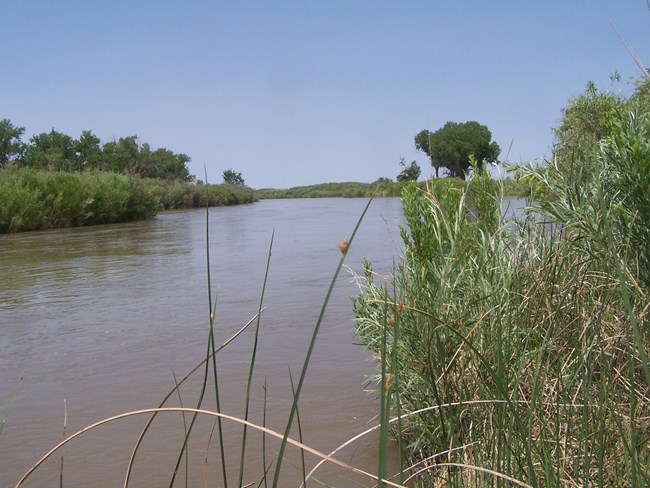
High water in the Arkansas River at Bent's Old Fort National Historic Site

NPS

The Arkansas River is an alluvial, sand-bed, perennially flowing river. The river gradient is well defined and averages about 6.7 feet per mile through the fort reach. The Arkansas meanders through large, sinuous, oxbows between bluffs, in a flood plain about a mile wide. The reconstructed fort is within the 100 year floodplain.

The river carries a large bedload of sediment and has been aggregating for the past several decades in the area between La Junta, about 8 miles upstream, and John Martin Dam, about 20 miles down stream.

The natural regime of the Arkansas River has been altered by the construction of the Pueblo Dam and Reservoir, about 75 miles upstream, in the late 1960's.

Historic accounts found in diaries and journals mention fishing on the Arkansas River at Bent's Fort. Archeological excavations of the fort's dump revealed the bones and scales of fish, toads, mollusks, snails, and turtles.

Last updated: May 6, 2020

Park footer

Contact Info

Mailing Address:

35110 State Highway 194
La Junta, CO 81050

Phone:

719 383-5010

Contact Us

Tools