News Release
You are viewing ARCHIVED content published online before January 20, 2025.
Please note that this content is NOT UPDATED, and links may not work. For current information,
visit https://www.nps.gov/aboutus/news/index.htm.

Tazhay Jones
|
Subscribe
|
Contact: Peter Neitlich, 509-341-4540
Contact: Ken Adkisson, 907-443-6104
Coastal imaging will be occuring between July 3 - July 12 along the coast of Bering Land Bridge and Cape Krusenstern.Aircraft Operations
Aircraft and base operations will be based out of Quartz Creek. A R44 helicopter will be used to gather ground-base data on sensitive habitats and a Denali Found will take high-quality photos via the Bering Land Bridge and Cape Krusenstern Coast.Why are these survey's important?
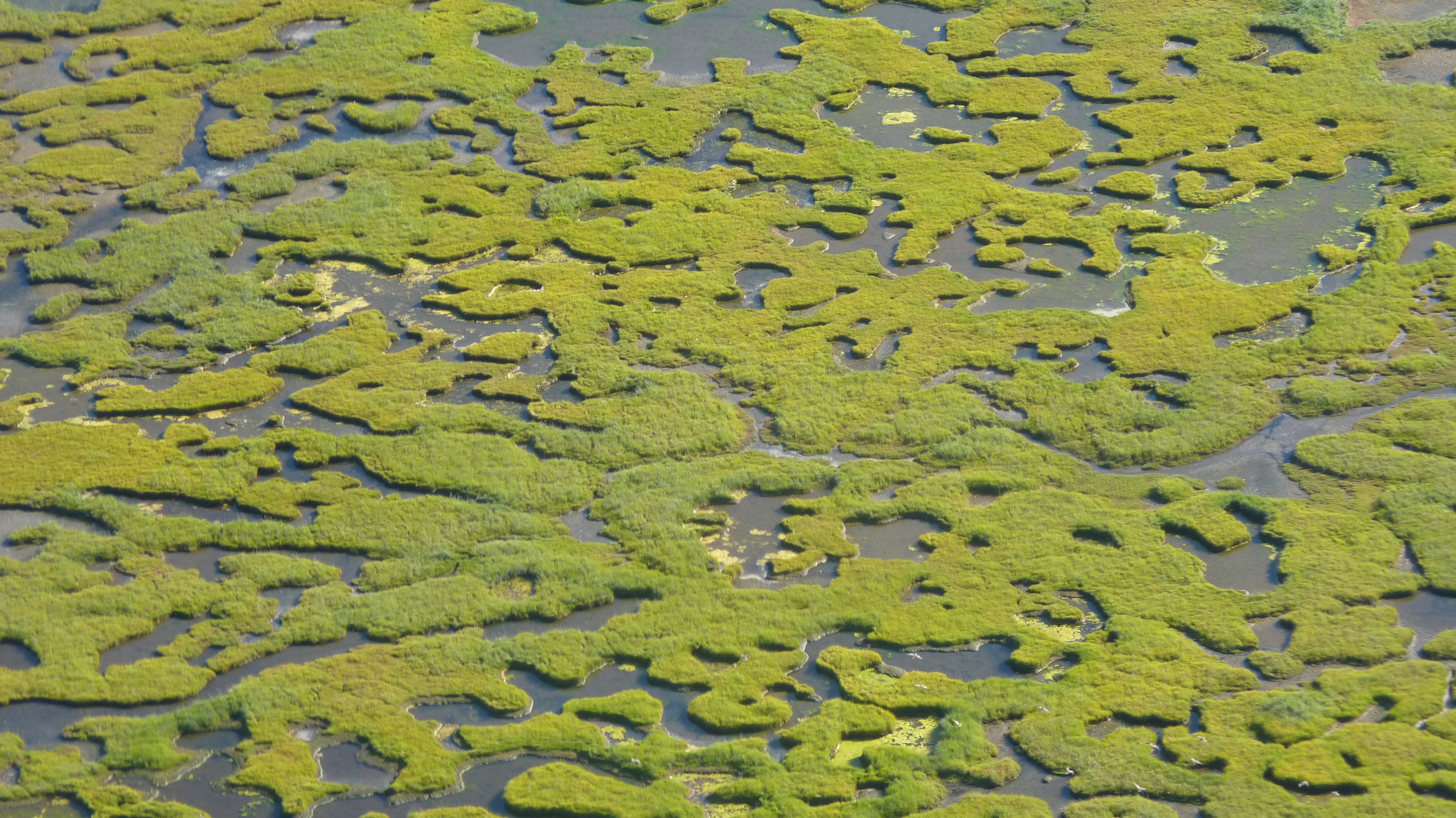
Bering Land Bridge National Preserve (BELA) and Cape Krusenstern National Monuments (CAKR) have approximately 1600 km of predominantly soft-sediment Arctic coastlines rich in biological resources. These shorelines include lagoons with richly-patterned interiors, estuaries serving as key waterbird breeding areas, extensive salt marshes and brackish wetlands, and sediment transport-driven barrier islands and capes. These coastlines are extremely important for subsistence opportunities for local communities. Over the past decade, marine vessel traffic through the Bering Strait has grown exponentially to take advantage of new ice-free, Arctic summer shipping routes. Planning and early stages of development for oil and gas extraction in northwestern Alaska is underway in the National Petroleum Reserve-Alaska (NPRA) and a new round of leases planned in the Chukchi Sea. A new deep water port servicing the Arctic is planned for Nome, and other oil-related infrastructure is expected. Nearby, Red Dog Mine barges in approximately 14 million gallons of diesel fuel annually. Given the proximity of shipping and nascent industrialization to these formerly remote conservation units, the National Park Service (NPS) seeks preparation for spill response, mitigation, and restoration. NPS has embarked on an ambitious coastal research and stewardship plan. A major unmet need in the parks’ coastal strategic plan is a detailed ecological lands classification of coastal vegetation based on geomorphologic and vegetation units defined through remote sensing and field work. This project is expected to run for two years and will result in geospatial data layers presenting the coastal classification as well as high resolution imagery that, following its use in the classification, will be available for spill response, restoration, and other purposes.Last updated: June 19, 2018
