Last updated: November 17, 2025
Article
SECN Highlights July 2018


SECN photo / Eric Starkey
Wadeable Stream Monitoring at Congaree National Park
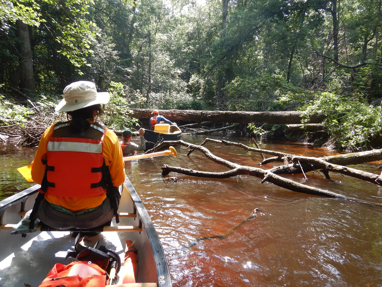
In June, the Southeast Coast Network began implementation of wadeable stream channel monitoring at Congaree National Park. During the first week at the park, the SECN field crew, led by Aquatic Ecologist Eric Starkey, trained with the park's Mosaics in Science intern Dominique Sanchez. Intern Stephen Cooper and Jacob McDonald, fluvial geomorphologist also participated in the monitoring. Even with high water levels, the team was able to survey McKenzie Creek for quality assurance/quality control purposes.
Week two marked the inaugural survey of all four-sample reaches within the park. Three reaches are along the upper section of Cedar Creek above “Bridge B” and the fourth reach is on McKenzie Creek in the northeast section of the park. Measurements at each reach included channel dimensions, dominant substrate, volume of large woody debris, bank angles, and canopy cover.
Future surveys will determine how conditions may have changed from baseline conditions. For more information about wadeable stream channel monitoring in the Southeast Coast Network, see https://www.nps.gov/im/secn/wadeable-streams.htm. The network would like to thank Congaree National Park staff and intern for their support and assistance.

SECN photo / Eric Starkey

SECN photo / Lisa Baron
Shoreline Data Collected
Shoreline surveys were collected at Cape Hatteras National Seashore in April, and a preliminary map was created. Working with park staff and NOAA, elevation data was collected at Cape Lookout National Seashore to help tie in South Core site historical data to future data collection.
Photo by Gabe Griffin, Louisiana Department of Wildlife and Fisheries.
SECN Ecologist Attends Wetlands Manager's Workshop
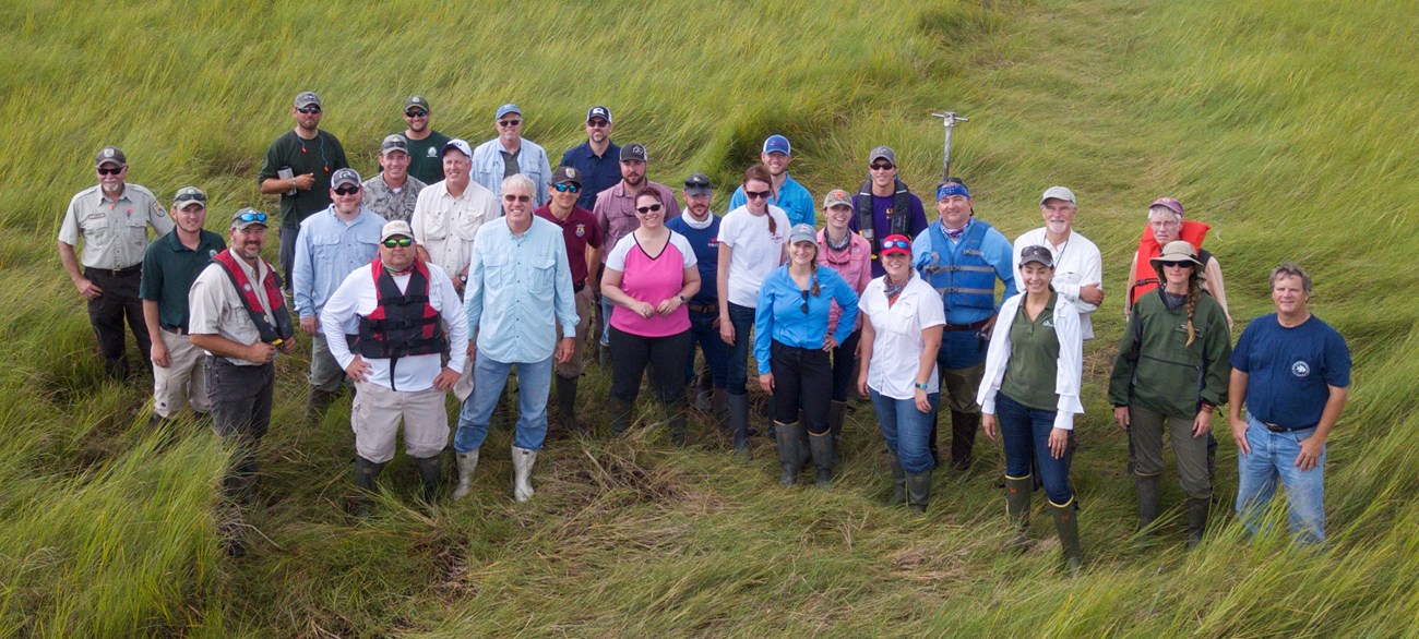
Southeast Coast Network Coastal Ecologist Lisa Cowart Baron recently attended a Wetlands Manager's Workshop at Rockefeller Wildlife Refuge in Louisiana. Marsh managers and researchers from around the country attended the conference, led by Andy Nyman, a professor at Louisiana State University's School of Renewable Resources. The meeting was the first of its kind, bringing in state and federal land managers as well as public and private consulting groups to discuss subsidence and sea-level rise.
SECN photo / Eric Starkey
In Case of Emergency...
From Southeast Coast Network Safety Officer Eric Starkey:
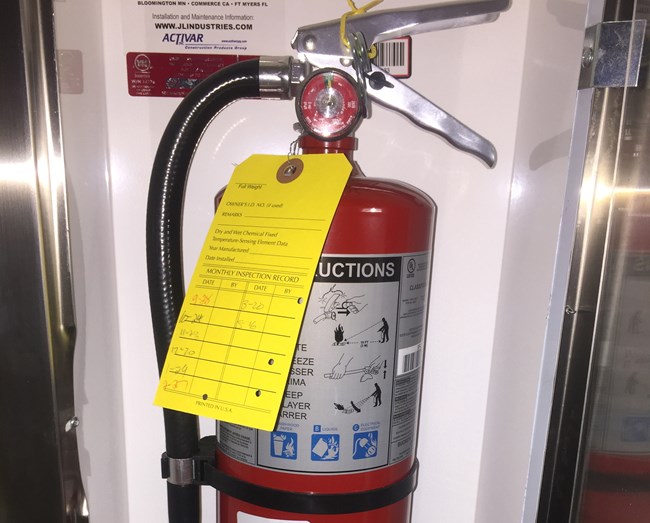
What would you do if you suddenly needed a fire extinguisher or needed to locate a tornado shelter? Do you know where your nearest emergency exit is? What if it was blocked? If an emergency strikes, seconds count. Knowing the answer to these questions could be the difference between life and death.
Take a few minutes to think about the location of the following safety related items or places in your workspace: fire extinguisher, fire alarm, first aid kit, Automated External Defibrillator (AED), eyewash station (if applicable), hearing protection, eye protection, tornado shelter, primary and secondary emergency exits, and the designated assembly area after emergency exit.
Hopfeully you'll never need any of these things, but a moment spent thinking about it now could save valuable time during an emergency. If you don't know where these items or places are in your workspace, check with your supervisor or designated safety person.
For More About the SECN: https://www.nps.gov/im/secn/index.htm
Tags
- cape hatteras national seashore
- cape lookout national seashore
- congaree national park
- timucuan ecological & historic preserve
- coastal shoreline monitoring
- wadeable stream monitoring
- safety best practice
- inventory and monitoring division
- salt marsh monitoring
- water-quality
- congaree national park
- cape hatteras national seashore
- cape lookout national seashore
- timucuan ecological and historic preserve
- rockefeller wildlife refuge
- wetlands managers workshop
- secn network highlights
