Last updated: July 18, 2024
Article
NPS Geodiversity Atlas—Yukon-Charley Rivers National Preserve, Alaska
Geodiversity refers to the full variety of natural geologic (rocks, minerals, sediments, fossils, landforms, and physical processes) and soil resources and processes that occur in the park. A product of the Geologic Resources Inventory, the NPS Geodiversity Atlas delivers information in support of education, Geoconservation, and integrated management of living (biotic) and non-living (abiotic) components of the ecosystem.

Introduction
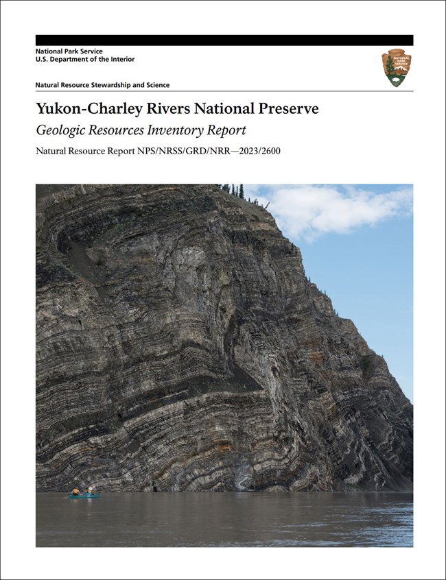
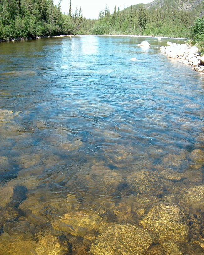
Yukon-Charley Rivers National Preserve (YUCH) is located approximately 175 km (110 mi) northeast of Fairbanks along the Alaska–Canada border in the Southeast Fairbanks and Yukon-Koyukuk Census Areas of the Unorganized Borough, east-central Alaska. Originally established as Yukon-Charley National Monument on December 1, 1978, the park unit was redesignated a national preserve on December 2, 1980. YUCH protects approximately 1,022,443 hectares (2,526,512 acres) of geologically diverse landscape, a 206 km (128 mi)-long tract of the Yukon River, and the entire Charley River basin (National Park Service 2016). The Yukon River and its tributaries have carved through rock to expose a remarkable geologic record of the region. YUCH contains a rich collection of historic and prehistoric cultural resources associated with the 1898 Alaskan gold rush, in addition to archeological relics of ancient Alaska Native tribes.
Geologic Setting
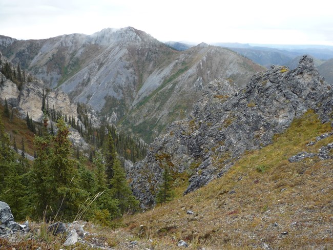
Situated in one of the most geologically active regions of North America, the geology of Yukon-Charley Rivers National Preserve represents a collage of accreted terranes (land masses added to a continent through plate tectonics) that are fault-bounded and possess unique geological features. The Tintina Fault is an active strike-slip fault that is oriented northwest–southeast and divides the preserve into two distinct geologic areas. The geology southwest of the fault is dominantly composed of Triassic to Cenozoic-age plutonic rocks, metamorphosed sedimentary rocks of Mississippian to Late Triassic age, and late Paleozoic metamorphic rocks. Northeast of the fault, the geology is represented by a more diverse array of formations ranging in age from the Precambrian to the Pliocene. Some of the oldest units in YUCH belong to the Precambrian Tindir Group located in the northeast corner of the preserve. Any visitor to YUCH can observe the amazing geologic record exposed along the Yukon River, with a relatively intact sequence of rocks recording more than 600 million years.

Geologic Features and Processes
Geologically, the Yukon Charley Rivers National Preserve is significant because it contains:
-
A world-significant assemblage of diverse geological and paleontological resources that are unusually complete, providing at least a 600 million year record stretching back to the close of the Precambrian era.
-
The area between the Nation, Kandik, and Yukon rivers is postulated to be a portion of the North American plate that has escaped deformation from geological forces and remains as an intact geological and paleontological record. Some of the oldest known microfossils in existence have been found in this area.
-
The entire Charley River watershed is protected in its undeveloped natural condition and is classified as a “national wild river”.
-
The Yukon River is the largest natural, free-flowing river in the National Park System.
-
Sites preserving activities and events of regional significance associated with the gold rush era are present and exemplified by bucket dredges, mail trails, trapper’s cabins, boats, roadhouses, water ditches, and machinery.
- Scoping summaries are records of scoping meetings where NPS staff and local geologists determined the park’s geologic mapping plan and what content should be included in the report.
- Digital geologic maps include files for viewing in GIS software, a guide to using the data, and a document with ancillary map information. Newer products also include data viewable in Google Earth and online map services.
- Reports use the maps to discuss the park’s setting and significance, notable geologic features and processes, geologic resource management issues, and geologic history.
- Posters are a static view of the GIS data in PDF format. Newer posters include aerial imagery or shaded relief and other park information. They are also included with the reports.
- Projects list basic information about the program and all products available for a park.
Source: NPS DataStore Saved Search 3207. To search for additional information, visit the NPS DataStore.
A NPS Soil Resources Inventory project has been completed for Yukon-Charley Rivers National Preserve and can be found on the NPS Data Store.
Source: NPS DataStore Saved Search 3232. To search for additional information, visit the NPS DataStore.

NPS/Josh Spice
Related Links
Related Articles
Yukon-Charley Rivers National Preserve
National Park Service Geodiversity Atlas
The servicewide Geodiversity Atlas provides information on geoheritage and geodiversity resources and values within the National Park System. This information supports science-based geoconservation and interpretation in the NPS, as well as STEM education in schools, museums, and field camps. The NPS Geologic Resources Division and many parks work with National and International geoconservation communities to ensure that NPS abiotic resources are managed using the highest standards and best practices available.

