Last updated: July 16, 2024
Article
NPS Geodiversity Atlas—Rocky Mountain National Park, Colorado
Geodiversity refers to the full variety of natural geologic (rocks, minerals, sediments, fossils, landforms, and physical processes) and soil resources and processes that occur in the park. A product of the Geologic Resources Inventory, the NPS Geodiversity Atlas delivers information in support of education, Geoconservation, and integrated management of living (biotic) and non-living (abiotic) components of the ecosystem.

Introduction
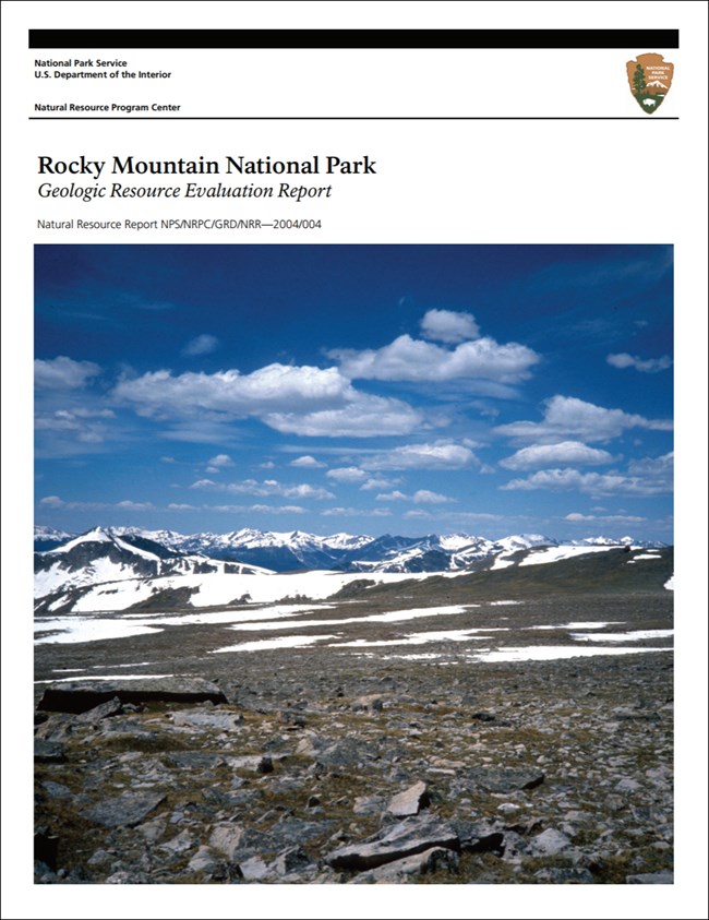
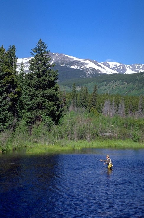
Rocky Mountain National Park (ROMO) was established on January 26, 1915 and is located in Boulder, Grand, and Larimer counties, northern Colorado. ROMO offers the rich scenery of the majestic Rocky Mountains and encompasses 107,563 hectares (265,795 acres) of mountain meadows, snow-fed streams, rolling alpine uplands, glacial moraines and valleys, volcanoes, lava, and ash (KellerLynn 2004; Anderson 2017). The park consists of towering mountain peaks ranging in elevation from 3,350 to 4,270 m (11,000 to 14,000 ft) above sea level that form the Continental Divide, Trail Ridge, the Mummy Range, and the Never Summer Mountains (KellerLynn 2004). Longs Peak, the tallest mountain in ROMO with an elevation of 4,345 m (14,256 ft) above sea level, rises 2,743 m (9,000 ft) over the nearby lowland plain. More than 480 km (300 mi) of hiking trails provide access from roadways and trailheads to remote alpine country areas of the park. ROMO was designated a Biosphere Reserve in 1976.
Geologic Setting
Rocks and deposits record the geologic history and evolution of Rocky Mountain National Park, which spans nearly two billion years. The ancient age of the rocks that form the core of the mountains in ROMO is impressive. Although not the oldest rocks in the NPS, they are from the Precambrian, which contains the oldest rocks on Earth and harkens back to a time when Earth’s early crust and continents were forming (KellerLynn 2004). Longs Peak consists of a mass of the Precambrian-age Silver Plume Granite dated at ~1.4 billion years old (Tweto 1987). Timing of the Rocky Mountain uplift (~70 million years ago) is related to a period of mountain building called the Laramide Orogeny. Isolated exposures of Mesozoic strata from the Western Interior Seaway exist in Laramide-age faults in the western area of the park (Braddock and Cole 1990). Tertiary volcanism formed much of the younger rocks (29 to 23 million years ago) found on the western slope of the park and which constitute much of the Never Summer Mountains (KellerLynn 2004).
Abandoned Mineral Lands
NPS AML sites can be important cultural resources and habitat, but many pose risks to park visitors and wildlife, and degrade water quality, park landscapes, and physical and biological resources. Be safe near AML sites—Stay Out and Stay Alive!
- Scoping summaries are records of scoping meetings where NPS staff and local geologists determined the park’s geologic mapping plan and what content should be included in the report.
- Digital geologic maps include files for viewing in GIS software, a guide to using the data, and a document with ancillary map information. Newer products also include data viewable in Google Earth and online map services.
- Reports use the maps to discuss the park’s setting and significance, notable geologic features and processes, geologic resource management issues, and geologic history.
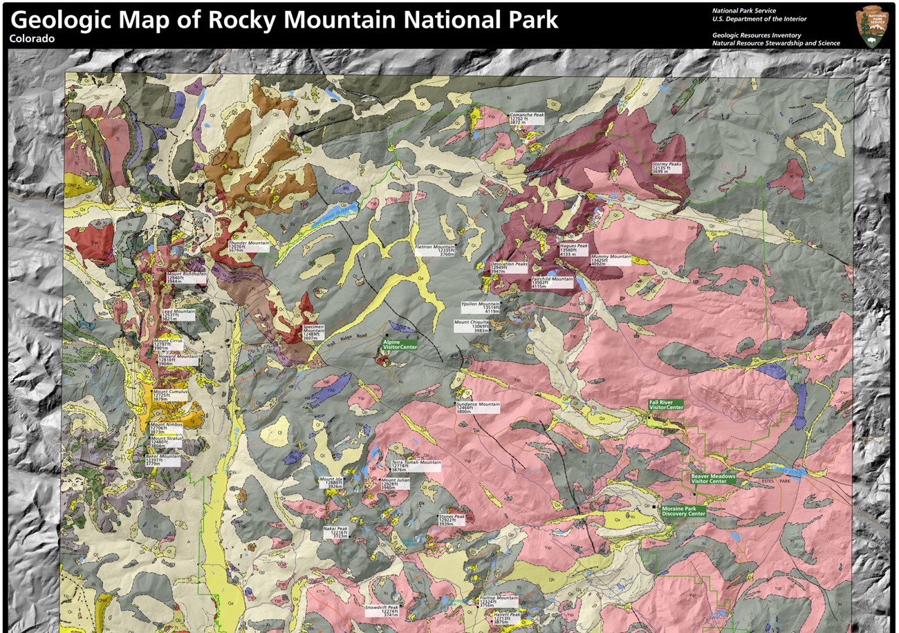
- Posters are a static view of the GIS data in PDF format. Newer posters include aerial imagery or shaded relief and other park information. They are also included with the reports.
- Projects list basic information about the program and all products available for a park.
Source: NPS DataStore Saved Search 3157. To search for additional information, visit the NPS DataStore.
A NPS Soil Resources Inventory project has been completed for Rocky Mountain National Park and can be found on the NPS Data Store.
Source: NPS DataStore Saved Search 3157. To search for additional information, visit the NPS DataStore.
Related Articles
Rocky Mountain National Park
National Park Service Geodiversity Atlas
The servicewide Geodiversity Atlas provides information on geoheritage and geodiversity resources and values within the National Park System. This information supports science-based geoconservation and interpretation in the NPS, as well as STEM education in schools, museums, and field camps. The NPS Geologic Resources Division and many parks work with National and International geoconservation communities to ensure that NPS abiotic resources are managed using the highest standards and best practices available.


